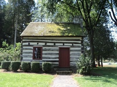
Peters Township near Mercersburg in Franklin County, Pennsylvania — The American Northeast (Mid-Atlantic)
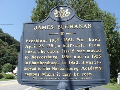
James Buchanan
Erected by Pennsylvania Historical and Museum Commission.
Topics and series. This historical marker is listed in this topic list: Education. In addition, it is included in the Former U.S. Presidents: #15 James Buchanan, and the Pennsylvania Historical and Museum Commission series lists. A significant historical date for this entry is April 23, 1791.
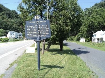
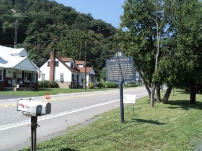
Location. 39° 51.988′ N, 77° 56.692′ W. Marker is near Mercersburg, Pennsylvania, in Franklin County. It is in Peters Township. Marker is at the intersection of Buchanan Trail (Pennsylvania Route 16) and Stoney Valley Road, on the right when traveling west on Buchanan Trail. Touch for map. Marker is at or near this postal address: 3660 State Forest Rd, Mercersburg PA 17236, United States of America. Touch for directions.
Other nearby markers. At least 8 other markers are within 4 miles of this marker, measured as the crow flies. Stony Batter (about 300 feet away, measured in a direct line); President James Buchanan (approx. 0.6 miles away); a different marker also named Stony Batter (approx. 0.6 miles away); a different marker also named James Buchanan (approx. 0.6 miles away); Birthplace of James Buchanan (approx. 0.6 miles away); A Quest for Honor (approx. 0.6 miles away); W-G-M Turnpike (approx. 3.1 miles away); Black Boys Rebellion (approx. 3.2 miles away). Touch for a list and map of all markers in Mercersburg.
Additional keywords. LGBT, LGBTQ
Credits. This page was last revised on February 7, 2023. It was originally submitted on August 22, 2012, by Bill Coughlin of Woodland Park, New Jersey. This page has been viewed 535 times since then and 23 times this year. Last updated on July 27, 2022, by Carl Gordon Moore Jr. of North East, Maryland. Photos: 1, 2, 3, 4, 5. submitted on August 22, 2012, by Bill Coughlin of Woodland Park, New Jersey. • Bill Pfingsten was the editor who published this page.
