Kingston in Ulster County, New York — The American Northeast (Mid-Atlantic)
The Delaware and Hudson Canal
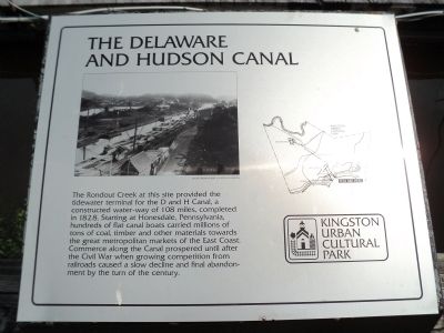
The Rondout Creek at this site provided the tidewater terminal for the D and H Canal, a constructed water-way of 108 miles, completed in 1828. Starting at Honesdale, Pennsylvania, hundreds of flat canal boats carried millions of tons of coal, timber and other materials towards the great metropolitan markets of the East Coast. Commerce along the Canal prospered until after the Civil War when growing competition from railroads caused a slow decline and final abandonment by the turn of the century.
Erected by Kingston Urban Cultural Park.
Topics. This historical marker is listed in this topic list: Waterways & Vessels. A significant historical year for this entry is 1828.
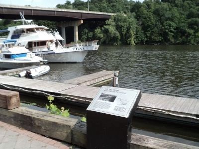
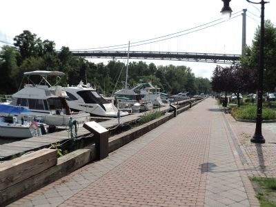
Location. 41° 55.075′ N, 73° 58.949′ W. Marker is in Kingston, New York, in Ulster County. Marker is on W Strand Street, on the left when traveling west. Touch for map. Marker is in this post office area: Kingston NY 12401, United States of America. Touch for directions.
Other nearby markers. At least 8 other markers are within walking distance of this marker. 20th New York State Militia (here, next to this marker); Navy Seabees (a few steps from this marker); Louis Caterino (a few steps from this marker); Island Dock (a few steps from this marker); The Mary Powell: Queen Of The Hudson (within shouting distance of this marker); The Rondout Creek Suspension Bridge (within shouting distance of this marker); Rondout (within shouting distance of this marker); New York State’s Heritage Area System (within shouting distance of this marker). Touch for a list and map of all markers in Kingston.
More about this marker. The upper left of the marker is an aerial photo of the waterfront from the Robert A. Slater Collection. The right side of the marker contains a map of the Kingston Urban Cultural Park showing the location of the marker.
Credits. This page was last revised on June 16, 2016. It was originally submitted on September 7, 2012, by Bill Coughlin of Woodland Park, New Jersey. This page has been viewed 429 times since then and 15 times this year. Photos: 1, 2, 3. submitted on September 7, 2012, by Bill Coughlin of Woodland Park, New Jersey.


