Chain Bridge Forest in Arlington in Arlington County, Virginia — The American South (Mid-Atlantic)
Pimmit Run and Chain Bridge
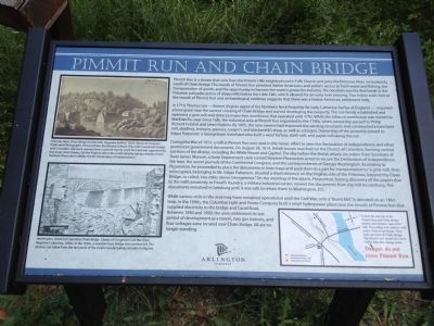
In 1719, Thomas Lee - former Virginia agent of the Northern Neck Propriety for Lady Catherine Fairfax of England - acquired a land grant near the current crossing of Chain Bridge and started developing the property. The Lee family established and operated a grist-mill and tobacco inspection warehouse that operated until 1792. While the tobacco warehouse was moved to Matildavile, near Great Falls, the industrial area at Pmmit Run expanded in the 1790s, when ownership passed to Philip Richard Fendall and Lewis Hipkins. By 1805, the new owners had improved the existing structures and constructed a merchant mill, distillery, brewery, granary, cooper's and blacksmith's shop, as well as cottages. Ownership of the property passed to Edgar Patterson, a Georgetown merchant who built a wool factory, cloth mill, and paper mill along the run.
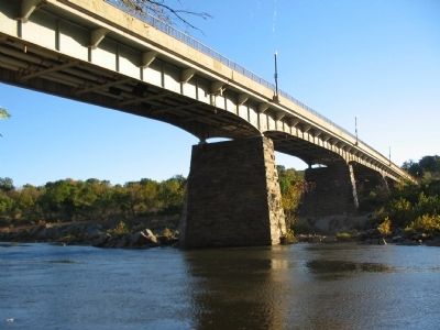
During the War of 1812, a mill at Pimmit Run was used in the heroic effort to save the Declaration of Independence and other prominent government documents. On August 24, 1814, British troops marched on the District of Columbia, burning various portions of the district, including White House and Capitol. The day before the British attack, on orders from Secretary of State James Monroe, a State Department clerk named Stephen Pleasonton acted to secure the Declaration of Independence, the laws, the secret journals of the Continental Congress, and the correspondence of George Washington. According to Pleasonton, he proceeded to place the documents in linen bags and pack them in a cart for transportation to "a grist-mill, then unoccupied, belonging to Mr. Edgar Patterson, situated a short distance on the Virginia side of the Potomac, beyond the Chain Bridge, so called, two miles above Georgetown." On the morning of the attack, Pleasonton, fearing discovery of the papers due to the mill's proximity to Foxall's foundry, a military industrial center, moved the documents from the mill to Leesburg. The documents remained in Leesburg until it was safe to return them to Washington, D.C.
While various mills in the area may have remained operational until the Civil War,
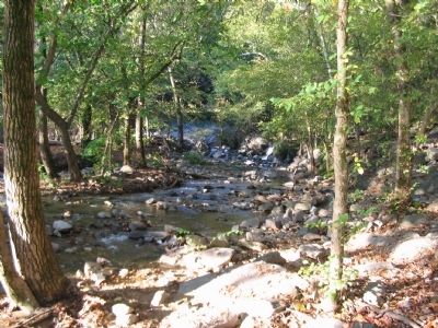
only a "Burnt Mill" is denoted on an 1864 map. In the 1890s, the Columbia Light and Power Company built a small hydropower plant near the mouth of Pimmit Run that suppplied electricity to the bridge and Canal Road. Between 1930 and 1950, the area underwent its last period of development as a tavern, two gas stations, and four cottages were located near Chain Bridge. All are no longer standing.
Erected by Arlington, Virginia.
Topics and series. This historical marker is listed in these topic lists: Bridges & Viaducts • Industry & Commerce • Native Americans • Settlements & Settlers • War of 1812. In addition, it is included in the Former U.S. Presidents: #05 James Monroe series list. A significant historical year for this entry is 1719.
Location. 38° 55.734′ N, 77° 7.109′ W. Marker is in Arlington, Virginia, in Arlington County. It is in Chain Bridge Forest. Marker is at the intersection of North Glebe Road (State Highway 120) and 41st Street, on the right when traveling south on North Glebe Road. Touch for map. Marker is in this post office area: Arlington VA 22207, United States of America. Touch for directions.
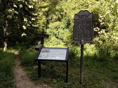
Other nearby markers. At least 8 other markers are within walking distance of this marker. The Mouth of Pimmit Run (here, next to this marker); Chain Bridge (about 600 feet away, measured in a direct line); Clay and Randolph Duel (approx. ¼ mile away); Fort Ethan Allen—What to Look For (approx. 0.4 miles away); Communications along the Defensive Line (approx. 0.4 miles away); Lives of the Soldiers (approx. 0.4 miles away); Protecting the Fort (approx. 0.4 miles away); Carolina Park: Archaeology and History in the Palisades (approx. half a mile away in District of Columbia). Touch for a list and map of all markers in Arlington.
Credits. This page was last revised on March 3, 2023. It was originally submitted on September 23, 2012, by Craig Swain of Leesburg, Virginia. This page has been viewed 1,605 times since then and 87 times this year. Photos: 1, 2, 3, 4. submitted on September 23, 2012, by Craig Swain of Leesburg, Virginia.


