St. Augustine in St. Johns County, Florida — The American South (South Atlantic)
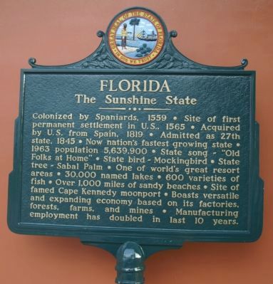
Florida
The Sunshine State
Topics. This historical marker is listed in these topic lists: Colonial Era • Industry & Commerce • Settlements & Settlers. A significant historical year for this entry is 1539.
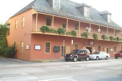
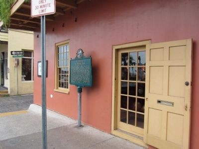
Location. 29° 53.532′ N, 81° 18.688′ W. Marker is in St. Augustine, Florida, in St. Johns County. Marker is at the intersection of King Street and Charlotte Street, on the right when traveling east on King Street. Touch for map. Marker is in this post office area: Saint Augustine FL 32084, United States of America. Touch for directions.
Other nearby markers. At least 8 other markers are within walking distance of this marker. Nuestra Señora de los Remedios (a few steps from this marker); St. Augustine Foot Soldiers (a few steps from this marker); Public Market Place (within shouting distance of this marker); The St. Augustine Foot Soldiers Monument (within shouting distance of this marker); Juan Ponce De Leon (within shouting distance of this marker); Slave Market (within shouting distance of this marker); The Plaza Building (within shouting distance of this marker); Juan Ponce de Leon (within shouting distance of this marker). Touch for a list and map of all markers in St. Augustine.
Credits. This page was last revised on January 2, 2019. It was originally submitted on March 6, 2008, by David Anderson of Middletown, New Jersey. This page has been viewed 2,129 times since then and 34 times this year. Photos: 1, 2. submitted on October 1, 2008, by Tim Walleker of Webster, Florida. 3. submitted on September 3, 2011, by Craig Swain of Leesburg, Virginia. • Kevin W. was the editor who published this page.


