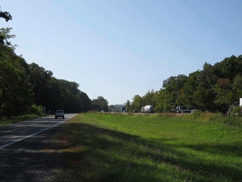
Near Broad Run in Fauquier County, Virginia — The American South (Mid-Atlantic)
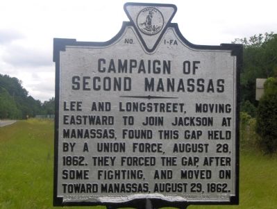
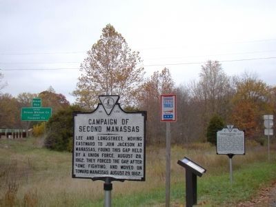
Campaign of Second Manassas
Erected 1928 by Conservation & Development Commission. (Marker Number FA-1.)
Topics and series. This historical marker is listed in this topic list: War, US Civil. In addition, it is included in the Virginia Department of Historic Resources (DHR) series list. A significant historical year for this entry is 1862.
Location. 38° 49.413′ N, 77° 42.659′ W. Marker is near Broad Run, Virginia, in Fauquier County. Marker is at the intersection of John Marshall Highway (Virginia Route 55) and Beverleys Mill Road, on the right when traveling west on John Marshall Highway. Touch for map. Marker is at or near this postal address: 17504 Beverly Mill Dr, Broad Run VA 20137, United States of America. Touch for directions.
Other nearby markers. At least 8 other markers are within 2 miles of this marker, measured as the crow flies. Thoroughfare Gap (here, next to this marker); a different marker also named Thoroughfare Gap (a few steps from this marker); Chapman's Mill (approx. ¼ mile away); Bull Run Mountains Natural Area Preserve (approx. ¼ mile away); Heflin's Store (approx. 1.1 miles away); Free People Of Color At Thoroughfare (approx. 1.9 miles away); The Thoroughfare Colored / North Fork School (approx. 2 miles away); Water Fowl And Their Habitat (approx. 2 miles away). Touch for a list and map of all markers in Broad Run.
Related markers. Click here for a list of markers that are related to this marker. To better understand the relationship, study each marker in the order shown.
Additional commentary.
1. One Soldier’s Story
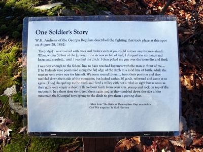
Transcription of text on interpretative sign on photo No. 3
W.H. Andrews of the Georgia Regulars described the fighting that took place at this spot on August 28, 1862:
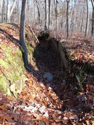
“The [ridge] ... was covered with trees and bushes so that you could not see any distance ahead ... When within 50 fee of the [quarry] ... the air was so full of lead, I dropped on my hands and knees and crawled ... until I reached the ditch. I then poked my gun over the loose dirt and fired.
“I was near enough to the federal line to have touched bayonets with the man in front of me ... [The Federals were positioned along the far] edge of the ditch in a solid line of battle, while the regulars were every may for himself. We soon routed [them] ... from their position and they tumbled down their side of the mountain; but halted within 50 yards, reformed and came at us again. [They] charged up to the ditch and fired a volley with not a rebel in sight but as soon as their guns were empty a sheet of flame burst forth from every tree, stump and rock on top of the mountain. In a short time we routed them again and as they tumbled down the side of the mountain the [Georgia] boys sprang to the ditch to give them a parting shot.”
Taken from “The Battle of Thoroughfare Gap,” an article in Civil War magazine by Noel Harrison. Note To Editor only visible by Contributor and editor
— Submitted December 2, 2008.
Additional keywords. General James Longstreet, General Robert E. Lee, Thoroughfare Gap, General James Ricketts
Credits. This page was last revised on May 1, 2021. It was originally submitted on October 5, 2006, by Roger Dean Meyer of Yankton, South Dakota. This page has been viewed 2,321 times since then and 31 times this year. Last updated on October 13, 2006, by Roger Dean Meyer of Yankton, South Dakota. Photos: 1. submitted on October 5, 2006, by Roger Dean Meyer of Yankton, South Dakota. 2. submitted on October 31, 2009, by J. J. Prats of Powell, Ohio. 3, 4. submitted on December 1, 2008. 5. submitted on September 19, 2017, by Samuel Paik of Gainesville, Virginia. • J. J. Prats was the editor who published this page.
