Coalton in Randolph County, West Virginia — The American South (Appalachia)
Jimtown / Phillips Cemetery
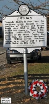
Jimtown. Formerly known as Fair Hope for one-room school located at the junction of Findley and Yeager Roads circa 1898 to 1953. Later named for James J. "Squire Jim" Phillips (1855-1937), a former Justice of the Peace. During the Civil War, his mother Margaret Scott Phillips served Southern troops as a courier and a guide while living on this farm.
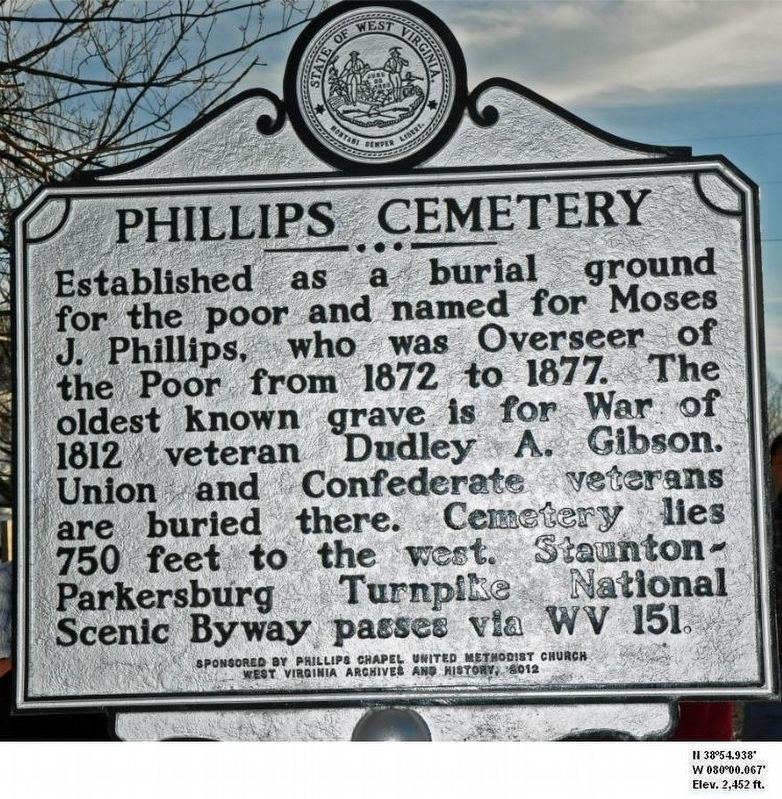
Phillips Cemetery. Established as a burial ground for the poor and named for Moses J. Phillips, who was Overseer of the Poor from 1872 to 1877. The oldest known grave is for War of 1812 veteran Dudley A. Gibson. Union and Confederate veterans are buried there. Cemetery lies 750 feet to the west. Staunton-Parkersburg Turnpike National Scenic Byway passes via WV 151.
Erected 2012 by Roaring Creek Lions Club and West Virginia Archives, History.
Topics and series. This historical marker is listed in these topic lists: Education • Settlements & Settlers • War, US Civil. In addition, it is included in the West Virginia Archives and History series list. A significant historical year for this entry is 1898.
Location. 38° 54.938′ N, 80° 0.067′ W. Marker is in Coalton, West Virginia, in Randolph County. Marker is on Jimtown Road (old U.S. 33) (West Virginia Route 151) , on the left when traveling west. Touch for map. Marker is at or near this postal address: 335 Jimtown Rd, Coalton WV 26257, United States of America. Touch for directions.
Other nearby markers. At least 8 other markers are within 4 miles of this marker, measured as the crow flies. Crawford Scott (approx. 2.3 miles away); Barbour County / Randolph County (approx. 3.6 miles away); General George B. McClellan (approx. 4 miles away); Camp Garnett (approx. 4 miles away); Fortifications (approx. 4 miles away); Staunton-Parkersburg Turnpike (approx. 4 miles away); a different marker also named Camp Garnett (approx. 4 miles away); Artillery (approx. 4 miles away).
Also see . . . Jimtowm, WV - Wikipedia. (Submitted on December 15, 2012, by Keith S Smith of West Chester, Pennsylvania.)
Additional commentary.
1. Margaret Scott Phillips' younger brother.
Margaret Scott Phillips' brother Crawford Scott served as a guide for Union forces during the Civil War. He was the first native of Randolph County to promote the commercial development of coal lands. See historical marker entitled "Crawford Scott."
— Submitted November 16, 2012, by Steven B. Corley of Jane Lew, West Virginia.
Credits. This page was last revised on August 15, 2021. It was originally submitted on November 13, 2012, by Steven B. Corley of Jane Lew, West Virginia. This page has been viewed 991 times since then and 46 times this year. Photos: 1, 2. submitted on November 13, 2012, by Steven B. Corley of Jane Lew, West Virginia. • Bill Pfingsten was the editor who published this page.
Editor’s want-list for this marker. wide shot of this marker showing its environment • Can you help?

