Saltillo in Lee County, Mississippi — The American South (East South Central)
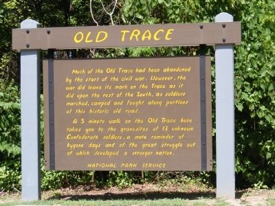
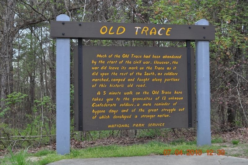
Old Trace
National Park Service
— Natchez Trace Parkway —
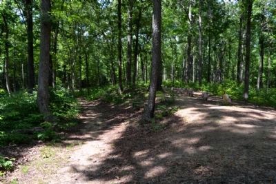
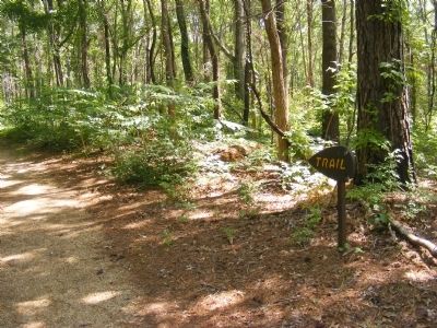
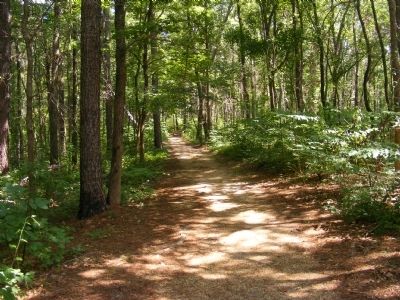
A 5 minute walk on the Old Trace here takes you to the gravesites of 13 unknown Confederate soldiers, a mute reminder of bygone days and of the great struggle out of which developed a stronger nation.
Topics and series. This historical marker is listed in this topic list: Roads & Vehicles. In addition, it is included in the Natchez Trace series list.
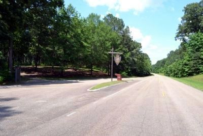
Location. 34° 21.899′ N, 88° 40.469′ W. Marker is in Saltillo, Mississippi, in Lee County. Marker is on Natchez Trace Parkway (at milepost 269). Touch for map. Marker is in this post office area: Saltillo MS 38866, United States of America. Touch for directions.
Other nearby markers. At least 8 other markers are within 7 miles of this marker, measured as the crow flies. Thirteen Unknown Confederates (about 500 feet away, measured in a direct line); Old Town Creek (approx. 5.1 miles away); Natchez Trace at Lee County (approx. 5.1 miles away); Tupelo Campaign: Old Town Creek, July 15 (approx. 5.4 miles away); Tupelo Campaign: Harrisburg July 14 (approx. 5.4 miles away); Tupelo Campaign: Pontotoc Road, July 13 (approx. 5.4 miles away); Dogwood Valley (approx. 5.7 miles away); Carver School / Desegregation of Schools Across the South (approx. 6.8 miles away).
Credits. This page was last revised on May 31, 2023. It was originally submitted on December 13, 2012, by Don Morfe of Baltimore, Maryland. This page has been viewed 1,066 times since then and 54 times this year. Photos: 1. submitted on December 13, 2012, by Don Morfe of Baltimore, Maryland. 2. submitted on May 30, 2023, by Sandra Hughes Tidwell of Killen, Alabama, USA. 3, 4. submitted on June 27, 2015, by Duane Hall of Abilene, Texas. 5, 6. submitted on December 13, 2012, by Don Morfe of Baltimore, Maryland. • Craig Swain was the editor who published this page.
