Mountainair in Torrance County, New Mexico — The American Mountains (Southwest)
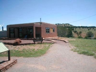
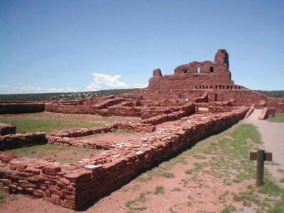
Abo Ruins
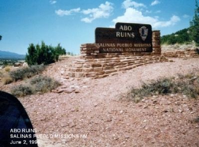
Salinas Pueblo Misson National Monument
In English:
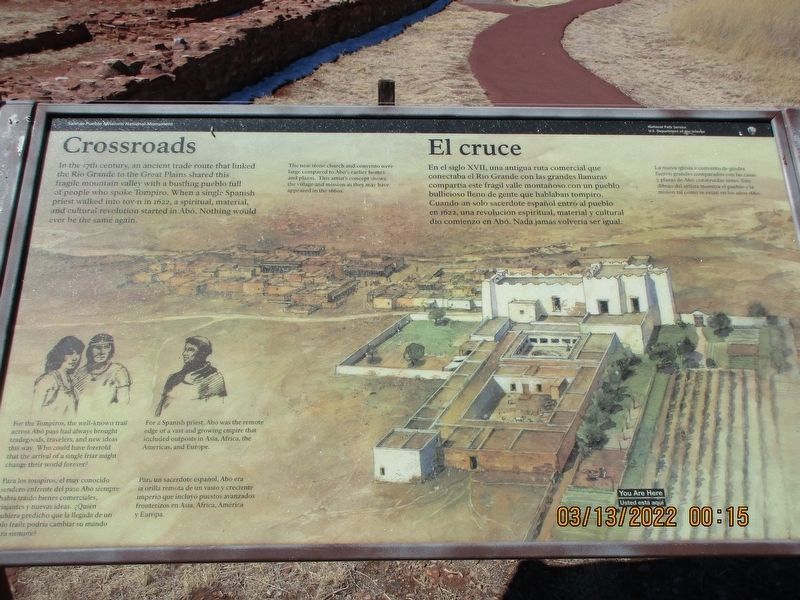
Crossroads
In the 17th century, an ancient trade route that linked the Rio Grande to the Great Plains shared this fragile mountain valley with a bustling pueblo full of people who spoke Tompiro. When a single Spanish priest walked into town in 1622, a spiritual, material, and cultural revolution started in Abo. Nothing would ever be the same again.
In Spanish:
El cruce
En el siglo XVII, una antigua ruta comercial que unía el río Grande a las grandes llanuras compartió este valle de montaña frágiles con un bullicioso pueblo lleno de gente que hablaba Tompiro. Cuando un sacerdote español solo caminó a la ciudad en 1622, una revolución cultural, espiritual y material comenzaron en Abo. Nada iba a ser el mismo.
Graphic Illustration:
In English:
For the Tompiros, the well-known trail across Abo pass had always brought tradegoods, travelers, and new ideas this way. Who could have foretold that the arrival of a single friar might change their world forever?
For a Spanish priest, Abo was the remote edge of a vast and growing empire that included outposts in Asia, Africa, the Americas, and Europe.
In Spanish:
Para los tompiros, el muy conocida sendero enfrente del paso Abo siempre habia traido bienes comerciales. ¿Quién hubiera predicho que la llegada de un solo fraile podría cambiar su mundo para siempre?
Para un sacerdote español, Abo era la orilla remota de un vasto y creciente imperio que incluyó puestos avanzados fronterizos en Asia, África, América y Europa.
Erected by National Park Service.
Topics. This historical marker is listed in these topic lists: Churches & Religion • Native Americans. A significant historical year for this entry is 1622.
Location. 34° 27.018′ N, 106° 22.488′ W. Marker is in Mountainair, New Mexico, in Torrance County. Marker is on Abo Ruins Road. Touch for map. Marker is in this post office area: Mountainair NM 87036, United States of America. Touch for directions.
Other nearby markers. At least 8 other markers are within walking distance of this marker. Crossroads/El cruce (a few steps from this marker); A Kiva Here?/¿Una kiva aquí? (within shouting distance of this marker); People at Work/Manos a la obra (within shouting distance of this marker); New Songs/Cantos Nuevos (within shouting distance of this marker); Prayers and Hymns/Rezos e himnos (within shouting distance of this marker); Fred Sisneros' Grave/Don Federico (within shouting distance of this marker); A Grander Church/Una iglesia más grande (within shouting distance of this marker); Village of Abó/Pueblo de Abó (about 400 feet away, measured in a direct line).
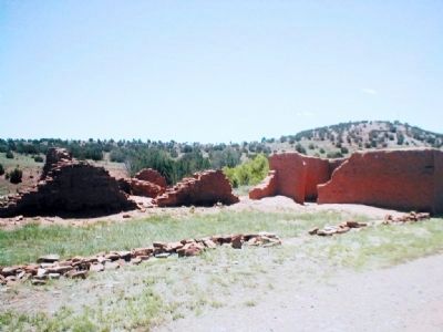
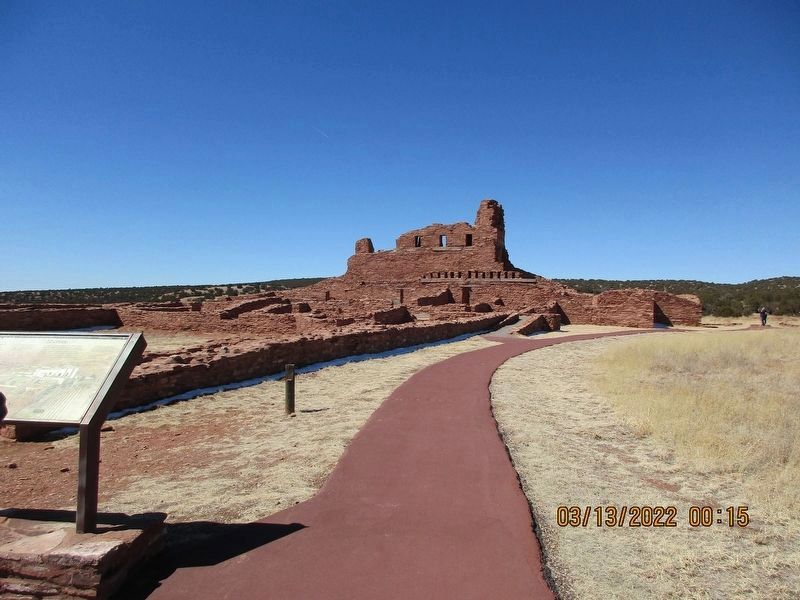
Regarding Abo Ruins. Salinas Pueblo Missions National Monument, located in central New Mexico comprises 3 units: Abó, Quarai, and Gran Quivira with elevations ranging from 6100 to 6600 above sea level. Vegetation is predominantly pinyon-juniper woodlands and associated shrubland, including cacti. Good riparian conditions exist at Abó and Quarai.
Salinas Pueblo Missions is positioned within the Estancia Basin, east of the Manzano Mountains. In Pleistocene time the Estancia Basin held a lake. Surrounding the margins of the valley beaches, bars, and spits are distinguishable. Eventually the lake dried up and the American Indians associated with the pueblos of Salinas cultivated staple foods such as corn, beans, and squash, on the fine loamy lake deposits.
Salinas Pueblo Missions was set aside because of the importance of the cultural resources however, there is a major connecting link to the natural resources. The link is the importance of man’s adjustment to a marginal land and the man-land relationship during the past 1,000+ years of occupation.
Salinas Pueblo Missions is situated in the foothills of the Manzano Mountains. The word Manzano is derived from the word "manzanas" which is Spanish for apples. It is said that the small Hispanic village and the surrounding mountains take their name for the ancient orchards here. The
orchards were believed to have been planted by the Franciscan priests in the early 17th century, however, the trees have been dated no earlier than the 1800s.
Elevations in the Manzano Mountain range form 6,000 feet in the foothills to 10,098 feet on Manzano Peak. Vegetation consists of pinyon-juniper woodlands in the lower elevations to mixed conifer forests in the high country. The terrain, cut with canyons and rocky outcrops, is fairly steep and rugged.
The approximately 112,000 acres, comprising the Manzano Mountains are administered by the Mountainair Ranger District of the Cibola National Forest. The Manzanos are a long, narrow range trending north and south. The area slopes gently up from the Estancia Valley in the east to about 8,000 feet elevation and then rises abruptly to the ridgeline. The west face drops sharply into the uplands of the Rio Grande Valley.
Source: The National Park Service website
Photographed By Don Morfe, June 2, 1998
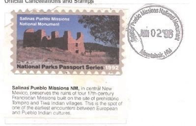
8. National Park Cancellation Stamp-Salinas Pueblo Missions National Monument
In central New Mexico, preserves the ruins of four 17th century Franciscan Missions built on the site of prehistoric Tompiro and Tiwa Indian villages. This is the spot of one of the earliest encounters between European and Pueblo Indian cultures.
Credits. This page was last revised on December 1, 2022. It was originally submitted on December 23, 2012, by Don Morfe of Baltimore, Maryland. This page has been viewed 778 times since then and 30 times this year. Photos: 1. submitted on November 12, 2022, by Jeff Leichsenring of Garland, Texas. 2, 3, 4, 5, 6, 7, 8. submitted on December 23, 2012, by Don Morfe of Baltimore, Maryland. 9. submitted on November 12, 2022, by Jeff Leichsenring of Garland, Texas. • Syd Whittle was the editor who published this page.
Editor’s want-list for this marker. Wide area view of the marker and its surroundings. • Can you help?
