Ridgeland in Jasper County, South Carolina — The American South (South Atlantic)
Grahamville
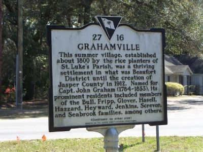
This summer village, established by the rice planters of St. Luke's Parish, was a thriving settlement in what was the Beaufort District until the creation of Jasper County in 1912. Named for Capt. John Graham (1784-1833), its prominent residents included members of the Bull, Fripp, Glover, Hassell, Hazzard, Heyward, Jenkins, Screven, and Seabrook families, among others.
[back]
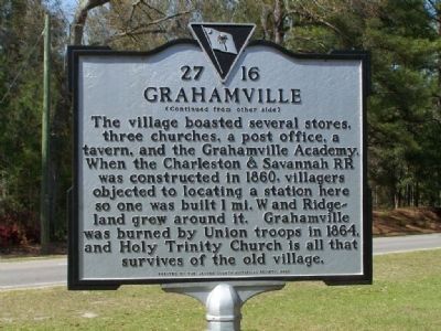
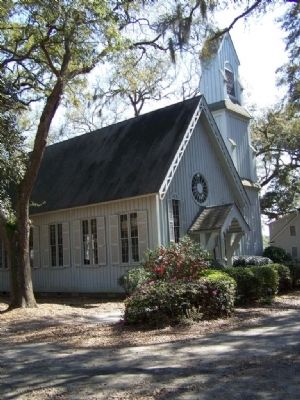
The village boasted several stores, three churches, a post office, a tavern, and the Grahamville Academy. When the Charleston & Savannah RR was constructed in 1860, villagers objected to locating a station here so one was built 1 mi. W and Ridgeland grew around it. Grahamville was burned by Union troops in 1864, and Holy Trinity Church is all that survives of the old village.
Erected 2000 by The Jasper County Historical Society. (Marker Number 27-16.)
Topics. This historical marker is listed in these topic lists: Notable Places • War, US Civil. A significant historical year for this entry is 1912.
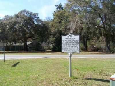
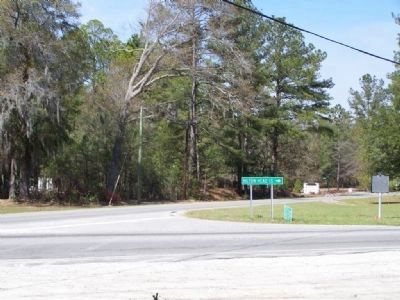
Location. 32° 28.251′ N, 80° 57.894′ W. Marker is in Ridgeland, South Carolina, in Jasper County. Marker is at the intersection of State Highway 29 and Bees Creek Road (State Highway 13), on the right when traveling west on State Highway 29. The marker is at the northeast corner of the intersection. Touch for map. Marker is in this post office area: Ridgeland SC 29936, United States of America. Touch for directions.
Other nearby markers. At least 8 other markers are within 4 miles of this marker, measured as the crow flies. Church of the Holy Trinity (a few steps from this marker); Euhaw Baptist Church (approx. 0.2 miles away); Gopher Tortoise Square (approx. 1.3 miles away); Ridgeland (approx. 1.3 miles away); St. Paul's Methodist Church (approx. 1.4 miles away); Jasper County / Jasper County Courthouse (approx. 1˝ miles away); Ridgeland Baptist Church (approx. 2.1 miles away); Great Swamp Baptist Church (approx. 3.6 miles away). Touch for a list and map of all markers in Ridgeland.
Credits. This page was last revised on June 16, 2016. It was originally submitted on March 15, 2008, by Mike Stroud of Bluffton, South Carolina. This page has been viewed 2,305 times since then and 185 times this year. Photos: 1, 2, 3, 4, 5. submitted on March 15, 2008, by Mike Stroud of Bluffton, South Carolina. • Christopher Busta-Peck was the editor who published this page.
