North Laurel in Howard County, Maryland — The American Northeast (Mid-Atlantic)
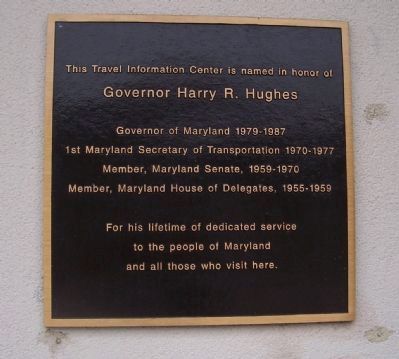
Governor Harry R. Hughes
Governor Harry R. Hughes
Governor of Maryland 1979-1987
1st Maryland Secretary of Transportation 1970-1987
Member, Maryland Senate, 1959-1970
Member, Maryland House of Delegates, 1955-1959
For his lifetime of dedicated service
to the people of Maryland
and all those who visit here.
Erected 2008 by Maryland Department of Transportation.
Topics. This historical marker is listed in this topic list: Roads & Vehicles.
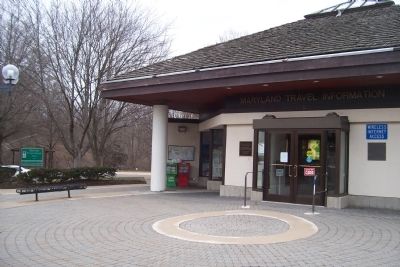
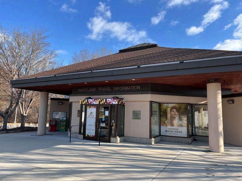
Location. 39° 8.74′ N, 76° 50.713′ W. Marker is in North Laurel, Maryland, in Howard County. Marker can be reached from Interstate I-95, one mile south of Patuxent Freeway, on the right when traveling south. Marker is on the exterior wall at the west side of the entrance to the Travel Information Center which is west of southbound I-95 - at the east corner of the passenger car parking area. Touch for map. Marker is in this post office area: Laurel MD 20723, United States of America. Touch for directions.
Other nearby markers. At least 8 other markers are within 2 miles of this marker, measured as the crow flies. Maryland Purple Heart Trail (a few steps from this marker); Explore your Chesapeake (a few steps from this marker); Explore Your Chesapeake (approx. 0.3 miles away); a different marker also named Maryland Purple Heart Trail (approx. 0.3 miles away); This Survey Point (approx. one mile away); Millworkers House (approx. 1.1 miles away); 9051-9053 Baltimore Street (approx. 1.2 miles away); Historic Savage Mill (approx. 1.2 miles away).
Also see . . . Harry Roe Hughes. (Submitted on March 1, 2013, by Richard E. Miller of Oxon Hill, Maryland.)
Additional keywords. Interstate Highway; rest stop
Credits. This page was last revised on January 24, 2023. It was originally submitted on March 1, 2013, by Richard E. Miller of Oxon Hill, Maryland. This page has been viewed 640 times since then and 14 times this year. Photos: 1, 2. submitted on March 1, 2013, by Richard E. Miller of Oxon Hill, Maryland. 3, 4. submitted on December 19, 2022, by Adam Margolis of Mission Viejo, California. • Bill Pfingsten was the editor who published this page.


