Turner's Creek Landing in Kent County, Maryland — The American Northeast (Mid-Atlantic)
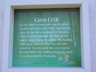
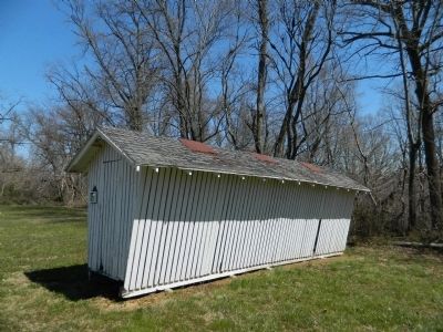
Corn Crib
Topics. This historical marker is listed in this topic list: Agriculture.
Location. 39° 21.062′ N, 75° 59.121′ W. Marker is in Turner's Creek Landing, Maryland, in Kent County. Marker can be reached from Turners Creek Road. Marker is on the grounds of the Kent Museum. Touch for map. Marker is in this post office area: Kennedyville MD 21645, United States of America. Touch for directions.
Other nearby markers. At least 8 other markers are within walking distance of this marker. Charley's House (here, next to this marker); Welcome to the Kent Museum (about 600 feet away, measured in a direct line); The Tockwogh and the Bay (approx. ¼ mile away); Captain John Smith on the Sassafras River (approx. ¼ mile away); A Home with a Rich Past (approx. ¼ mile away); Natural Diversity at Turner's Creek (approx. ¼ mile away); Agricultural Demonstration Area / Historic Tree Grove (approx. 0.3 miles away); Turner's Creek (approx. half a mile away). Touch for a list and map of all markers in Turner's Creek Landing.
Credits. This page was last revised on June 16, 2016. It was originally submitted on April 18, 2013, by Bill Pfingsten of Bel Air, Maryland. This page has been viewed 487 times since then and 30 times this year. Photos: 1, 2. submitted on April 18, 2013, by Bill Pfingsten of Bel Air, Maryland.

