Vandalia in Cass County, Michigan — The American Midwest (Great Lakes)
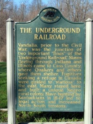
The Underground Railroad
Vandalia, prior to the Civil War, was the junction of two important "lines" of the "Underground Railroad." Slaves fleeing through Indiana and Illinois came to Cass County, where Quakers and others gave them shelter. Fugitives seeking a refuge in Canada were guided to "stations" to the east. Many stayed here and built a unique Negro rural colony. Slave-hunting by Kentuckians in 1847 led to legal action and increased North-South tensions.
Erected 1957 by Michigan Historical Commission. (Marker Number S137.)
Topics and series. This historical marker is listed in these topic lists: Abolition & Underground RR • African Americans. In addition, it is included in the Michigan Historical Commission, and the Quakerism series lists. A significant historical year for this entry is 1847.
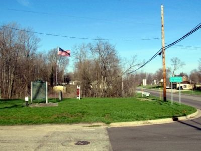
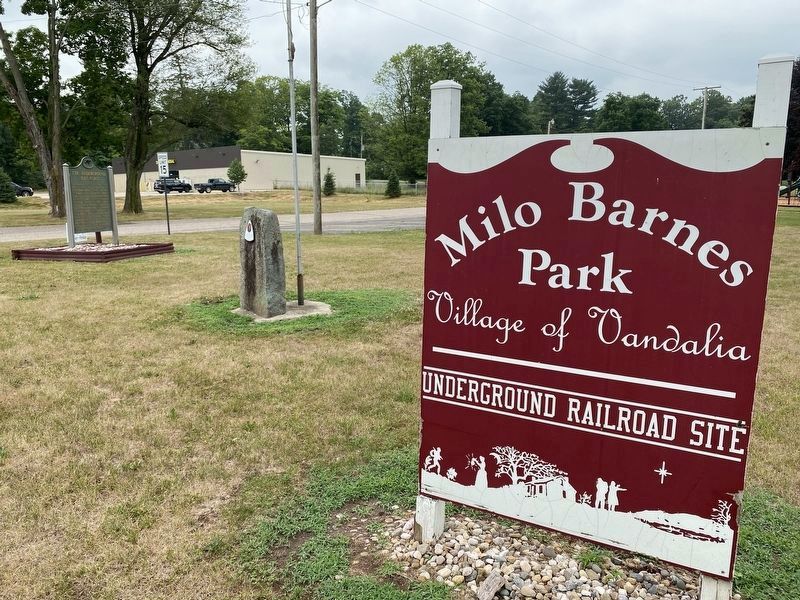
Location. 41° 55.075′ N, 85° 54.975′ W. Marker is in Vandalia, Michigan, in Cass County. Marker is at the intersection of State Street (State Highway 60) and Water Street, on the right when traveling east on State Street. Marker is located at the southwest corner of the intersection in Milo Barnes Park. Touch for map. Marker is in this post office area: Vandalia MI 49095, United States of America. Touch for directions.
Other nearby markers. At least 8 other markers are within 5 miles of this marker, measured as the crow flies. The Kentucky Raid (a few steps from this marker); A Station of the Underground Railway (approx. 2.2 miles away); Birch Lake Meeting House (approx. 2.8 miles away); Captain Iven C. Kincheloe Memorial (approx. 2.9 miles away); Chain Lake Baptist Church and Cemetery (approx. 4.2 miles away); Freedom Road (approx. 4.9 miles away); Cass County Courthouse (approx. 5 miles away); Sanctuary and Deliverance (approx. 5 miles away). Touch for a list and map of all markers in Vandalia.
Credits. This page was last revised on July 9, 2022. It was originally submitted on April 23, 2013, by Duane Hall of Abilene, Texas. This page has been viewed 1,049 times since then and 60 times this year. Last updated on July 8, 2022, by Lou Donkle of Valparaiso, Indiana. Photos: 1, 2. submitted on April 23, 2013, by Duane Hall of Abilene, Texas. 3. submitted on July 8, 2022, by Lou Donkle of Valparaiso, Indiana. • Bernard Fisher was the editor who published this page.


