Council Oak in South Bend in St. Joseph County, Indiana — The American Midwest (Great Lakes)
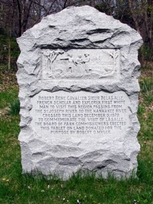
Robert Rene Cavalier Sieur DeLaSalle
Erected by South Bend Board of Park Commissioners.
Topics. This historical marker is listed in these topic lists: Colonial Era • Exploration. A significant historical month for this entry is December 1990.
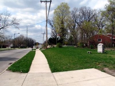
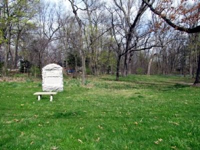
Location. 41° 42.838′ N, 86° 16.848′ W. Marker is in South Bend, Indiana, in St. Joseph County. It is in Council Oak. Marker is on Portage Ave, 0.1 miles south of Boland Dr, on the right when traveling north. Marker is located in La Salle Memorial Park 200 feet south of the Portage Ave/Ribourde Dr/Boland Dr roundabout and immediately north of the Riverview Cemetery. Touch for map. Marker is in this post office area: South Bend IN 46616, United States of America. Touch for directions.
Other nearby markers. At least 8 other markers are within 3 miles of this marker, measured as the crow flies. Council Oak (approx. 0.2 miles away); Better Homes Of South Bend (approx. 1.1 miles away); La Salle's Camp (approx. 1.9 miles away); Old College (approx. 2.2 miles away); From a Letter of The Rev. Edward Sorin, CSC (approx. 2.2 miles away); Thomas A. Dooley, M.D. '48 (approx. 2.2 miles away); Chaplain Corby of Gettysburg (approx. 2.2 miles away); World War I Memorial (approx. 2.3 miles away). Touch for a list and map of all markers in South Bend.
Credits. This page was last revised on February 4, 2023. It was originally submitted on May 1, 2013, by Duane Hall of Abilene, Texas. This page has been viewed 913 times since then and 42 times this year. Photos: 1, 2, 3. submitted on May 1, 2013, by Duane Hall of Abilene, Texas. • Bill Pfingsten was the editor who published this page.


