Near Sharpsburg in Washington County, Maryland — The American Northeast (Mid-Atlantic)
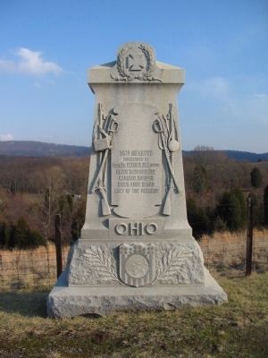
36th Ohio Volunteer Infantry
commanded by
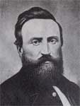
Lieut. Col. Melvin Clarke (Killed)
Crook's (2d) Brigade
Kanawha Division
Ninth Army Corps
Army of the Potomac
Ohio
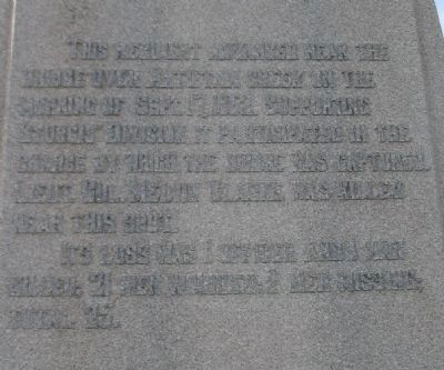
(Rear of Monument):
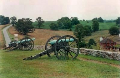
This Regiment advanced near the Bridge over Antietam Creek on the morning of September 17, 1862, supporting Sturgis' Division. It participated in the charge by which the Bridge was captured. Lieut. Col. Melvin Clarke was killed near this spot.
Its loss was 1 officer and 1 man killed; 21 men wounded; 2 men missing. Total 25.
Erected 1903 by State of Ohio.
Topics. This historical marker is listed in this topic list: War, US Civil. A significant historical date for this entry is September 17, 1865.
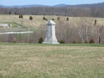
Location. 39° 27.236′ N, 77° 44.338′ W. Marker is near Sharpsburg, Maryland, in Washington County. Marker is on Branch Avenue, on the left when traveling south. Located at stop 10, the Final Attack, of the driving tour of Antietam Battlefield. Touch for map. Marker is in this post office area: Sharpsburg MD 21782, United States of America. Touch for directions.
Other nearby markers. At least 8 other markers are within walking distance of this marker. “Forever Free” (within shouting distance of this marker); The Advance Was Made With the Utmost Enthusiasm (within shouting distance of this marker); Brown’s (Wise), Virginia Battery (within shouting distance of this marker); The Fate of the Army (within shouting distance of this marker); “It Is A.P. Hill” (within shouting distance of this marker); Ninth Army Corps (within shouting distance of this marker); a different marker also named Ninth Army Corps (within shouting distance of this marker); D.R. Jones' Division, Longstreet's Command (about 300 feet away, measured in a direct line). Touch for a list and map of all markers in Sharpsburg.
Also see . . . 36th Ohio Volunteer Infantry Monument. National Park Service page detailing the monument. (Submitted on March 23, 2008, by Craig Swain of Leesburg, Virginia.)
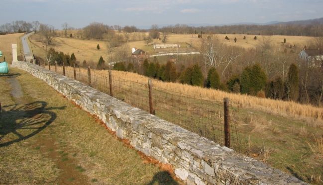
Photographed By Craig Swain, February 9, 2008
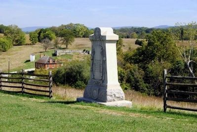
6. 36th Ohio Infantry Follows the 100th Pennsylvania
Following and supporting Welsh's Brigade was Crook's Brigade of the Kanawha Division. In the footsteps of the 100th Pennsylvania was the 36th Ohio. On the left along the stone wall stands the regiment's monument. The white structure on the right is the Otto Farm. The Sherrick Farm house stands on the other side of Burnside Bridge Road. This perspective gives a fair appreciation for the terrain and obstacles faced by the Federal advance in this sector.
Credits. This page was last revised on September 21, 2017. It was originally submitted on March 23, 2008, by Craig Swain of Leesburg, Virginia. This page has been viewed 1,403 times since then and 19 times this year. Photos: 1. submitted on March 23, 2008, by Craig Swain of Leesburg, Virginia. 2, 3. submitted on March 31, 2008, by Craig Swain of Leesburg, Virginia. 4, 5. submitted on October 4, 2015, by Brian Scott of Anderson, South Carolina. 6. submitted on March 23, 2008, by Craig Swain of Leesburg, Virginia. 7. submitted on April 18, 2009, by Mike Stroud of Bluffton, South Carolina.
