Near Columbus in Columbia County, Wisconsin — The American Midwest (Great Lakes)
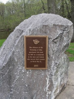
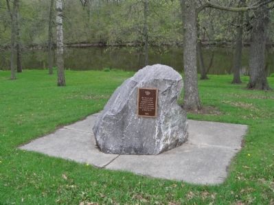
World War II Memorial
Township of Elba
purchased this land
in 1947 as a memorial
to the men and women
who served their country
in World War II.
1995
Erected 1995.
Topics. This memorial is listed in these topic lists: Man-Made Features • War, World II.
Location. 43° 19.715′ N, 88° 57.146′ W. Marker is near Columbus, Wisconsin, in Columbia County. Memorial is on State Highway 16 / 60, 0.2 miles east of County Road TT, on the right when traveling east. Memorial is at a highway wayside. Touch for map. Marker is at or near this postal address: W11289 State Highway 16 / 60, Columbus WI 53925, United States of America. Touch for directions.
Other nearby markers. At least 8 other markers are within 11 miles of this marker, measured as the crow flies. Farmers & Merchants Union Bank (approx. 3.3 miles away); Grand Army of the Republic Memorial (approx. 3.3 miles away); Columbus City Hall (approx. 3.3 miles away); Columbus Public Library (approx. 3.3 miles away); Governor James Taylor Lewis / Governor Lewis: Civil War Era (approx. 3.6 miles away); Fall River Dam (approx. 6.2 miles away); Lowell Women Firefighters (approx. 6.7 miles away); Frederick Douglass (approx. 10˝ miles away). Touch for a list and map of all markers in Columbus.
Credits. This page was last revised on October 14, 2020. It was originally submitted on May 31, 2013, by Keith L of Wisconsin Rapids, Wisconsin. This page has been viewed 738 times since then and 26 times this year. Photos: 1, 2, 3, 4, 5. submitted on May 31, 2013, by Keith L of Wisconsin Rapids, Wisconsin.
