Near Payson in Gila County, Arizona — The American Mountains (Southwest)
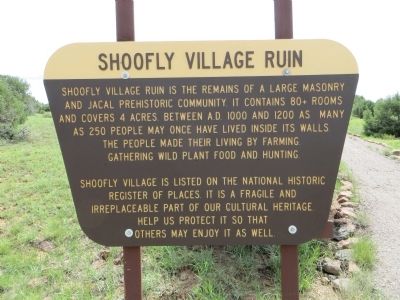
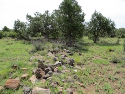
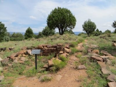
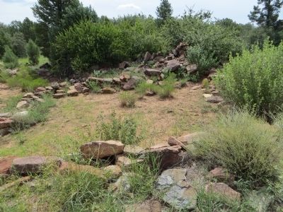
Shoofly Village Ruin
Shoofly Village is listed on the National Historic Register of Places. It is a fragile and irreplaceable part of our cultural heritage. Help us protect it so that others may enjoy it as well.
Erected by Tonto National Forest.
Topics. This historical marker is listed in these topic lists: Native Americans • Settlements & Settlers.
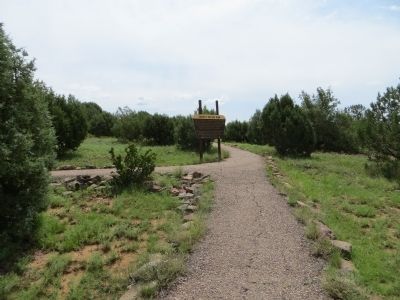
Location. 34° 17.415′ N, 111° 16.994′ W. Marker is near Payson, Arizona, in Gila County. Marker can be reached from Houston Mesa Road, 3 miles east of Arizona Route 87. Take Highway 87 north from Payson to Houston Mesa Road and turn east for 3 miles. The parking lot is a short distance beyond the Mesa del Caballo subdivision just off the paved road. Touch for map. Marker is in this post office area: Payson AZ 85541, United States of America. Touch for directions.
Other nearby markers. At least 8 other markers are within 6 miles of this marker, measured as the crow flies. Site of the Herron Hotel (approx. 5.1 miles away); Ox Bow Inn (approx. 5.1 miles away); Historic Mail Trail (approx. 5.1 miles away); Site of Rock Store (approx. 5.1 miles away); William H. Goettl Memorial (approx. 5.3 miles away); The Great 1970 Rim Country Flood Disaster (approx. 5.3 miles away); Ranger Station (approx. 5.3 miles away); Zane Grey's Cabin (approx. 5.3 miles away). Touch for a list and map of all markers in Payson.
Credits. This page was last revised on July 26, 2018. It was originally submitted on August 8, 2013, by Bill Kirchner of Tucson, Arizona. This page has been viewed 845 times since then and 16 times this year. Photos: 1, 2, 3, 4, 5. submitted on August 8, 2013, by Bill Kirchner of Tucson, Arizona. • Syd Whittle was the editor who published this page.
