Cumberland in Allegany County, Maryland — The American Northeast (Mid-Atlantic)
Life on the Canal
Chesapeake and Ohio Canal National Historical Park
— National Park Service, U.S. Department of the Interior —
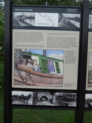
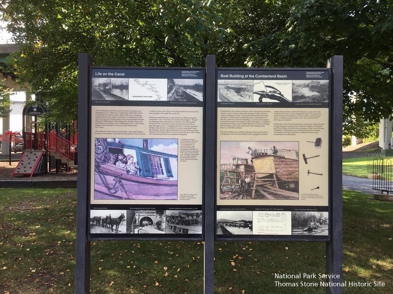
The lifeblood of the canal was its people--the canal builders, boatmen, locktenders, mule drivers and families who lived and worked on the canal. Days were long and life was hard for the many people who made the canal run.
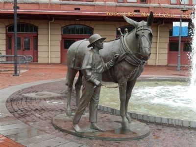
Mules powered the heavy cargo boats by walking along the towpath to "tow" the boats to and from Washington. "Packet" or passenger boats operated as well and were often pulled by horses. The canal had a series of structures for boats to pass through or over--including lift locks, a tunnel, aqueduct bridges and culverts. In addition to strong competition from the railroads, nature often threatened the canal with recurring floods of the Potomac River. A flood in the Spring of 1924 closed the canal permanently for commercial shipping.
Center Painting
"Two Sisters" by John Louis Wellington (1878-1965) Courtsey of the Maryland Historical Society.
Cumberland artist John Louis Wellington (1878-1965) traveled the canal aboard "The Cumberland," an excursion packet, spent time near the boatyards, photographed, sketched and painted numerous watercolors of the C&O Canal in its later years. Wellington captured the busy yet tranquil essence of the Chesapeake and Ohio Canal--the boats, the people, the beauty.
Bottom Left Photo
Mule team and driver
Center Photo
Boat emerging from the Paw Paw Tunnel
Left Photo
Travelers aboard an excursion packet ca. 1910
Erected by National Park Service, U.S. Department of the Interior.
Topics and series. This historical marker is listed in this topic list: Waterways & Vessels. In addition, it is included in the Chesapeake and Ohio (C&O) Canal series list. A significant historical year for this entry is 1924.
Location. 39° 38.958′ N, 78° 45.795′ W. Marker is in Cumberland, Maryland, in Allegany County. Marker is on W. Harrison Street, on the right when traveling south. Touch for map. Marker is in this post office area: Cumberland MD 21502, United States of America. Touch for directions.
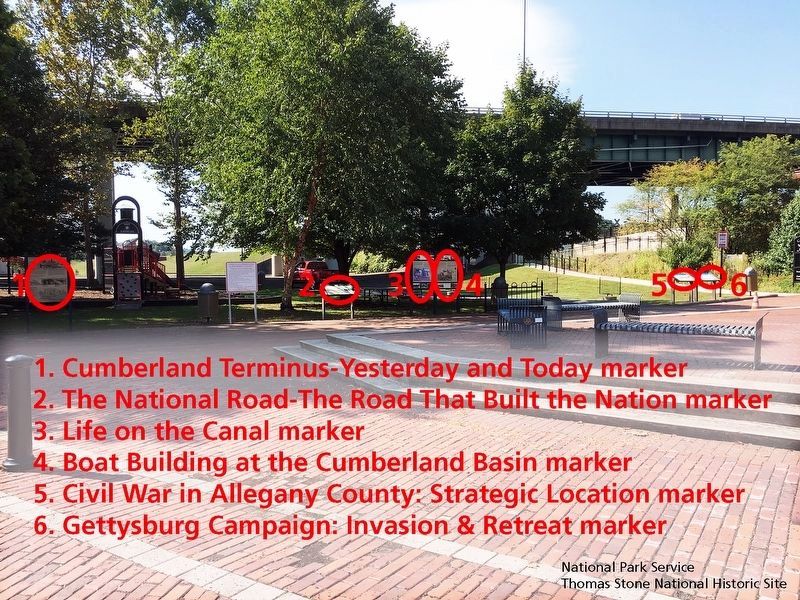
Other nearby markers. At least 8 other markers are within walking distance of this marker. Boat Building at the Cumberland Basin (here, next to this marker); The National Road (here, next to this marker); Cumberland Terminus: Yesterday and Today (a few steps
from this marker); Civil War in Allegany County (a few steps from this marker); Gettysburg Campaign (a few steps from this marker); Cumberland (within shouting distance of this marker); Western Maryland Railway Station (within shouting distance of this marker); Crossroads of America Mural (about 300 feet away, measured in a direct line). Touch for a list and map of all markers in Cumberland.
Also see . . . Cumberland Visitor Center, Chesapeake & Ohio Canal National Historical Park, National Park Service. (Submitted on September 24, 2019.)
Credits. This page was last revised on August 5, 2021. It was originally submitted on August 9, 2013, by Bill Pfingsten of Bel Air, Maryland. This page has been viewed 716 times since then and 16 times this year. Photos: 1. submitted on August 9, 2013, by Bill Pfingsten of Bel Air, Maryland. 2. submitted on September 24, 2019. 3. submitted on August 9, 2013, by Bill Pfingsten of Bel Air, Maryland. 4. submitted on September 24, 2019.


