Vail in Pima County, Arizona — The American Mountains (Southwest)
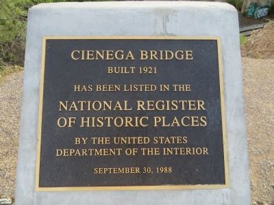
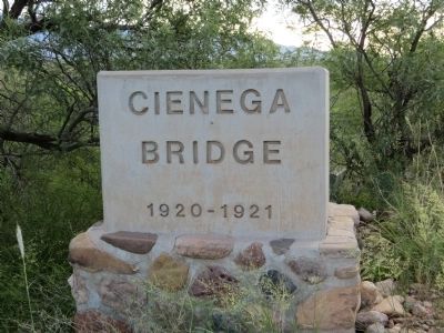
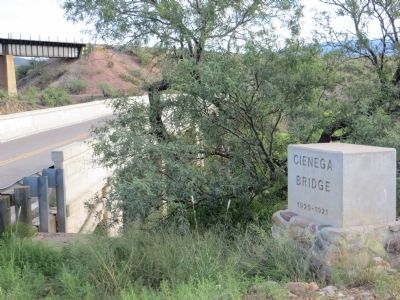
Cienega Bridge
Built 1921
National Register
of Historic Places
By the United States
Department of the Interior
September 30, 1988
Topics and series. This historical marker is listed in these topic lists: Bridges & Viaducts • Roads & Vehicles. In addition, it is included in the Old Spanish National Trail series list. A significant historical month for this entry is September 1735.
Location. 32° 1.164′ N, 110° 38.791′ W. Marker is in Vail, Arizona, in Pima County. Marker is on East Marsh Station Road, 3.3 miles east of Interstate 10, on the left when traveling east. Take exit 281 from Interstate 10 and turn right on North Frontage Road. Follow Frontage Road (Marsh Station Road) 3.3 miles to bridge. Touch for map. Marker is in this post office area: Vail AZ 85641, United States of America. Touch for directions.
Other nearby markers. At least 5 other markers are within 14 miles of this marker, measured as the crow flies. The CCC Worker (approx. 3 miles away); Colossal Cave Mountain Park (approx. 3.1 miles away); Desert Homes (approx. 10.9 miles away); Home for Saguaros (approx. 12.3 miles away); Where Have All the Saguaros Gone? (approx. 13.4 miles away).
Regarding Cienega Bridge. From: Drive the Old Spanish Trail Auto Route.
Leaving Benson, one is forced to take Interstate 8 west. But don’t despair, ahead lies one of the best sections of the Old Spanish Trail/US 80 in Arizona. Exit at Marsh Station Road (Ex. 289) to experience an up-and-down roller coaster ride along a vintage two-lane highway. (Watch out, there are no shoulders.)
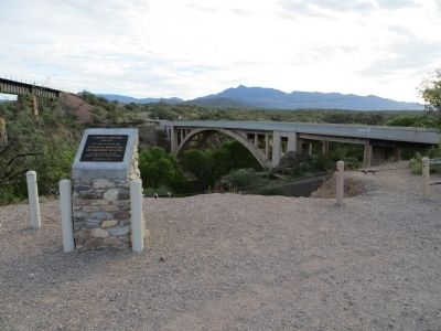
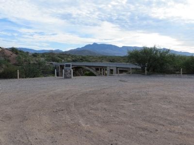
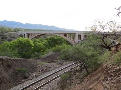
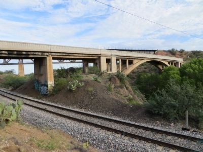
The highlight of the road is the spectacular Cienega Creek Bridge. Constructed in 1921, the three-hinged, open-spandrel concrete arch bridge soars above tiny Cienega Creek, and at its south end gives passage to the Southern Pacific Railroad. Stopping on the northwest embankment provides an interesting photo opportunity. Every 20 minutes or so the approaching train appears as if it is going to smash into the bridge. Fortunately, this has never happened, but the bridge did lose its original decorative railing due to safety codes several years ago.
Credits. This page was last revised on June 16, 2016. It was originally submitted on August 16, 2013, by Bill Kirchner of Tucson, Arizona. This page has been viewed 1,097 times since then and 83 times this year. Photos: 1, 2, 3, 4, 5, 6, 7. submitted on August 16, 2013, by Bill Kirchner of Tucson, Arizona. • Syd Whittle was the editor who published this page.
