Fanning Springs in Gilchrist County, Florida — The American South (South Atlantic)
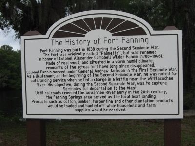
The History of Fort Fanning
Fort Fanning was built in 1838 during the Second Seminole War.
The fort was originally called "Palmetto", but was renamed in honor of Colonel Alexander Campbell Wilder Fannin (1788-1846).
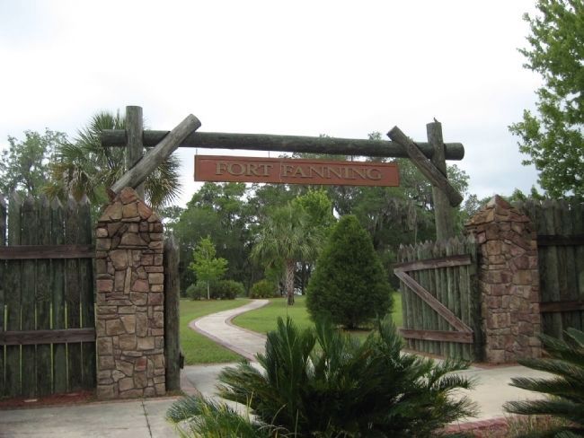
Made of real wood, and situated in warm humid climate, remnants of the actual fort have long since disappeared.
Colonel Fannin served under General Andrew Jackson in the First Seminole War. As a lieutenant, at the beginning of the Second Seminole War, he was noted for outstanding service when he led a charge in a battle near the Withlacochee River. His objective, during the Second Seminole War, was to capture Seminoles for deportation to the West.
Until railroads crossed the Suwannee River early in the 20th century, the Fanning Springs area served as the local boat landing.
Products such as cotton, lumber, turpentine and other plantation products would be loaded and hauled off while household and farm supplies would be received.
Topics and series. This historical marker is listed in these topic lists: Forts and Castles • Wars, US Indian. In addition, it is included in the Former U.S. Presidents: #07 Andrew Jackson series list. A significant historical year for this entry is 1838.
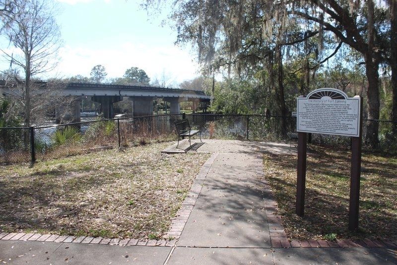
Location. 29° 35.5′ N, 82° 56.167′ W. Marker is in Fanning Springs , Florida, in Gilchrist County. Marker can be reached from the intersection of U.S. 19 and Kentucky Avenue, on the right when traveling west. Marker is located in Fort Fanning Historical Park north of Fanning Springs State Park. Touch for map. Marker is at or near this postal address: 18020 US 19, Trenton FL 32693, United States of America. Touch for directions.
Other nearby markers. At least 8 other markers are within 8 miles of this marker, measured as the crow flies. Steamboat "City of Hawkinsville" (about 300 feet away, measured in a direct line); Fanning Springs Bridge (about 500 feet away); Old Town School (approx. 2.7 miles away); Oldtown (approx. 2.9 miles away); John Franklin Beach, Sr. (approx. 7.2 miles away); The Crystal Ice House (approx. 7.3 miles away); Trenton's Compass Rose (approx. 7.3 miles away); Coca Cola Bottling Plant (approx. 7.3 miles away). Touch for a list and map of all markers in Fanning Springs.
Also see . . . Historic Fort on the Suwannee. Explore Southern History website entry (Submitted on August 19, 2013.)

Photographed By Darlene Greany, May 2, 2013
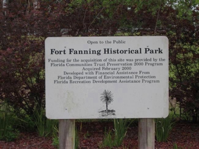
4. Fort Fanning Historical Park
Funding for the acquisition of this site was provided by the Florida Communities Trust Preservation 2000 Program
Acquired February 2000
Developed with Financial Assistance from Florida Department of Environmental Protection
Florida Recreation Development Assistance Program
Credits. This page was last revised on April 18, 2023. It was originally submitted on August 16, 2013, by Darlene Greany of Cape Coral, Florida. This page has been viewed 1,513 times since then and 46 times this year. Last updated on August 19, 2013, by Darlene Greany of Cape Coral, Florida. Photos: 1. submitted on August 16, 2013, by Darlene Greany of Cape Coral, Florida. 2. submitted on June 16, 2021, by Tim Fillmon of Webster, Florida. 3, 4, 5. submitted on August 16, 2013, by Darlene Greany of Cape Coral, Florida. • Bernard Fisher was the editor who published this page.


