West Ashley in Charleston in Charleston County, South Carolina — The American South (South Atlantic)
Ghost Structure
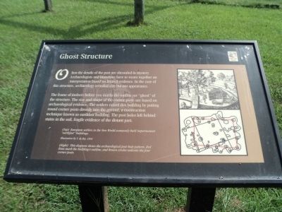
Often the details of the past are shrouded in mystery. Archeologists and historians have to weave together an interpretation based on limited evidence. In the case of this structure, archaeology revealed size but not appearance.
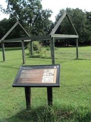
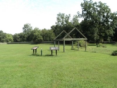
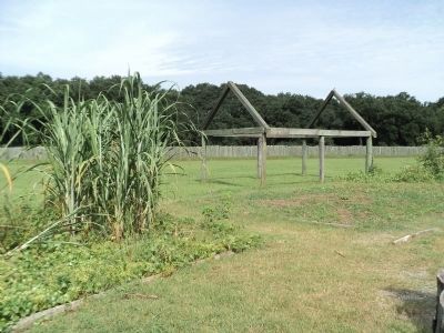
The frame of timbers before you marks the outline, or “ghost” of the structure. The size and shape of the corner posts are based on archaeological evidence. The settlers raised this building by putting round corner posts directly into the ground, a construction technique known as earthfast building. The post holes left behind stains in the soil, fragile evidence of the distant past.
Topics. This historical marker is listed in these topic lists: Colonial Era • Settlements & Settlers.
Location. 32° 48.185′ N, 79° 59.088′ W. Marker is in Charleston, South Carolina, in Charleston County. It is in West Ashley. Marker can be reached from Old Town Plantation Road. Marker is located on the History Trail at Charles Towne Landing. Touch for map. Marker is at or near this postal address: 1500 Old Towne Road, Charleston SC 29407, United States of America. Touch for directions.
Other nearby markers. At least 8 other markers are within walking distance of this marker. A Temporary Home? (here, next to this marker); Buildings “All of Wood”? (within shouting distance of this marker); Seeking Wealth, Sowing Servitude (within shouting distance of this marker); Stained Dirt?! (within shouting distance of this marker); The Search Goes On (within shouting distance of this marker); In Trust (about 300 feet away, measured in a direct line); Protecting the Colony – The Palisade Wall (about 300 feet away); 300th Anniversary of the Settlement of Charles Towne (about 400 feet away). Touch for a list and map of all markers in Charleston.
More about this marker. A picture at the upper right of the marker depicts men building a structure. It has a caption of “European settlers in the New World commonly built impermanent “earthfast” buildings. Illustration by T.de Bry, 1594.”
Under this is a drawing with the caption “This diagram shows the archaeological post-hole pattern. Red lines mark the building’s outline, and brown circles indicate the four corner posts.”
Credits. This page was last revised on February 16, 2023. It was originally submitted on August 20, 2013, by Bill Coughlin of Woodland Park, New Jersey. This page has been viewed 817 times since then and 31 times this year. Photos: 1, 2, 3, 4. submitted on August 20, 2013, by Bill Coughlin of Woodland Park, New Jersey.


