Croom in Prince George's County, Maryland — The American Northeast (Mid-Atlantic)
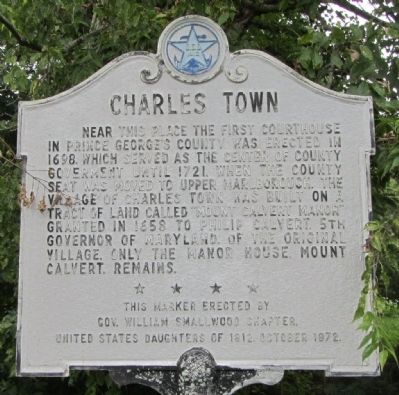
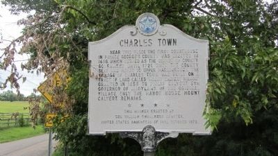
Charles Town
Erected 1972 by Gov. William Smallwood Chapter, United States Daughters of 1812.
Topics and series. This historical marker is listed in these topic lists: Colonial Era • Settlements & Settlers • War of 1812. In addition, it is included in the United States Daughters of 1812, National Society series list. A significant historical year for this entry is 1698.
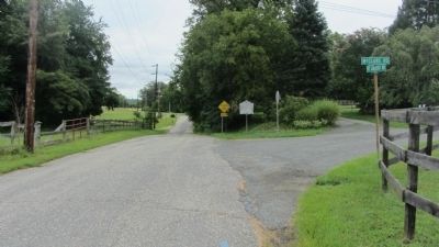
Location. 38° 46.876′ N, 76° 43.158′ W. Marker is in Croom, Maryland, in Prince George's County. Marker is on Mount Calvert Road, 2.4 miles east of Croom Road (Maryland Route 382), on the right when traveling east. Touch for map. Marker is in this post office area: Upper Marlboro MD 20772, United States of America. Touch for directions.
Other nearby markers. At least 8 other markers are within walking distance of this marker. First Americans at Mount Calvert (approx. ¼ mile away); Mount Calvert Historical and Archaeological Park (approx. ¼ mile away); Woodland Indians (approx. ¼ mile away); Mount Calvert, Early Town (approx. ¼ mile away); Chesapeake Beach Railway (approx. 0.3 miles away); The War of 1812 and the Chesapeake Flotilla (approx. 0.3 miles away); Explosive Scene (approx. 0.3 miles away); African-Americans at Mount Calvert (approx. 0.3 miles away). Touch for a list and map of all markers in Croom.
Credits. This page was last revised on June 16, 2016. It was originally submitted on August 24, 2013, by F. Robby of Baltimore, Maryland. This page has been viewed 603 times since then and 51 times this year. Photos: 1, 2, 3. submitted on August 24, 2013, by F. Robby of Baltimore, Maryland. 4. submitted on December 27, 2014, by Allen C. Browne of Silver Spring, Maryland.


