Near Caldwell in Burleson County, Texas — The American South (West South Central)
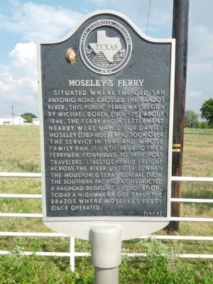
Moseley's Ferry
Erected 1975 by Texas Historical Commission. (Marker Number 8645.)
Topics. This historical marker is listed in this topic list: Roads & Vehicles. A significant historical year for this entry is 1846.
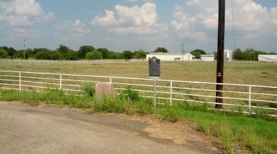
Location. 30° 37.465′ N, 96° 32.669′ W. Marker is near Caldwell, Texas, in Burleson County. Marker is at the intersection of Presidential Corridor E (State Highway 21) and County Route 221, on the left when traveling west on Presidential Corridor E. Touch for map. Marker is in this post office area: Caldwell TX 77836, United States of America. Touch for directions.
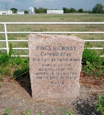
Other nearby markers. At least 8 other markers are within 5 miles of this marker, measured as the crow flies. Kings Highway - Camino Real — Old San Antonio Road (here, next to this marker); Brazos River Levee (approx. 1.4 miles away); San Salvador Mission Church (approx. 1.8 miles away); Route of El Camino Real (approx. 2.7 miles away); Kings Highway Camino Real — Old San Antonio Road (approx. 2.7 miles away); Near Homesite of Judge Andrew S. Broaddus (approx. 4.4 miles away); Cooks Point (approx. 4.4 miles away); Kings Highway (approx. 4.4 miles away). Touch for a list and map of all markers in Caldwell.
Also see . . .
1. Moseley's Ferry article in Handbook of Texas. (Submitted on February 7, 2014, by Gregory Walker of La Grange, Texas.)
2. Old San Antonio Road article in Handbook of Texas. (Submitted on February 7, 2014, by Gregory Walker of La Grange, Texas.)
Credits. This page was last revised on June 16, 2016. It was originally submitted on September 15, 2013, by Gregory Walker of La Grange, Texas. This page has been viewed 1,362 times since then and 116 times this year. Photos: 1, 2, 3. submitted on September 15, 2013, by Gregory Walker of La Grange, Texas. • Bernard Fisher was the editor who published this page.


