Ocean City in Worcester County, Maryland — The American Northeast (Mid-Atlantic)
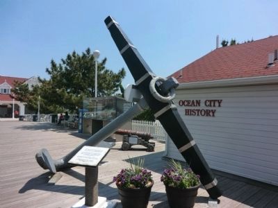
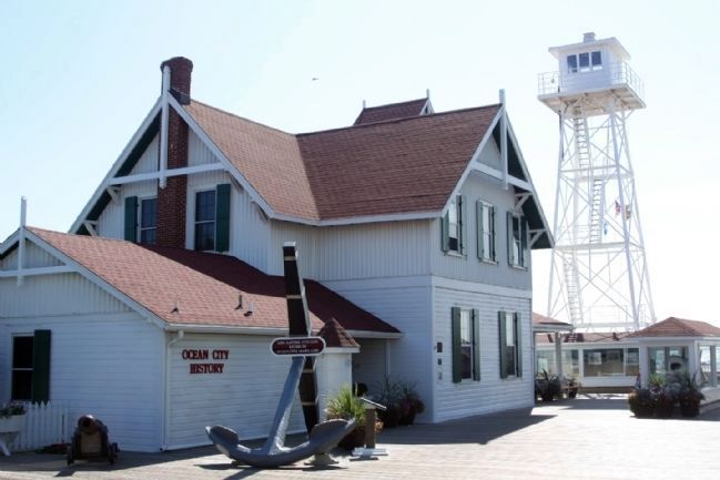
Anchor from the Sailboat Wreck
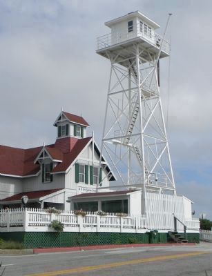
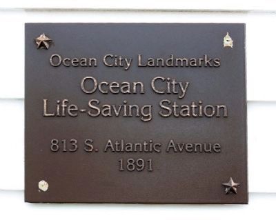
— Ocean City Life-Saving Station Museum —
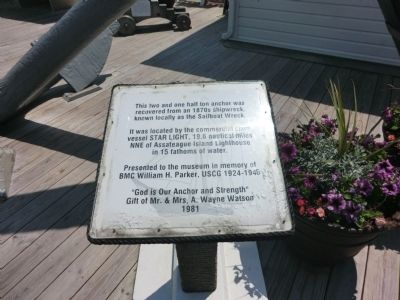
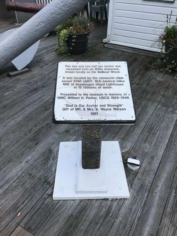
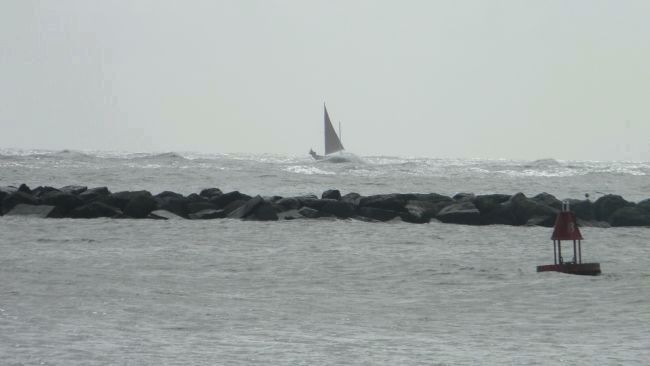
This two and one half ton anchor was recovered from an 1870s shipwreck, known locally as the Sailboat Wreck. It was located by the commercial clam vessel STAR LIGHT, 19.6 nautical miles NNE of Assateague Island Lighthouse in 15 fathoms of water.
Presented to the museum in memory of BMC William H. Parker, USCG 1924-1946. “God is Our Anchor and Strength” Gift of Mr. & Mrs. A. Wayne Watson 1981
Erected 1981.
Topics. This historical marker is listed in these topic lists: Disasters • Waterways & Vessels. A significant historical year for this entry is 1981.
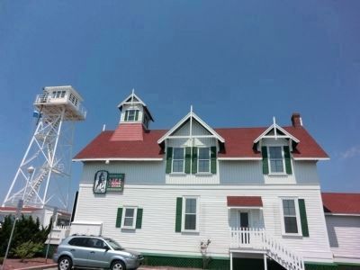
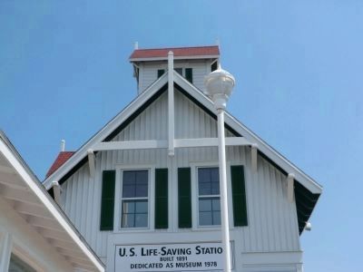
Location. 38° 19.533′ N, 75° 5.267′ W. Marker is in Ocean City, Maryland, in Worcester County. Marker is on South 2nd Street. This marker is located on the Boardwalk near the Ocean City Life-Saving Station museum. Touch for map. Marker is in this post office area: Ocean City MD 21842, United States of America. Touch for directions.
Other nearby markers. At least 8 other markers are within walking distance of this marker. British Manufactured Cannon (here, next to this marker); "The White Marlin Capital of the World" (here, next to this marker); Largest Fish (a few steps from this marker); Treasures From The Past (within shouting distance of this marker); Beach to Bay Indian Trail (within shouting distance of this marker); Island on the Move (within shouting distance of this marker); Boardwalk Construction 2000 (within shouting distance of this marker); The Blue Crab (within shouting distance of this marker). Touch for a list and map of all markers in Ocean City.
Also see . . . Ocean City Life Saving Station Museum. Museum Website (Submitted on October 20, 2013, by Richard E. Miller of Oxon Hill, Maryland.)
Credits. This page was last revised on January 20, 2022. It was originally submitted on July 7, 2013, by Don Morfe of Baltimore, Maryland. This page has been viewed 690 times since then and 24 times this year. Last updated on October 20, 2013, by Richard E. Miller of Oxon Hill, Maryland. Photos: 1. submitted on July 7, 2013, by Don Morfe of Baltimore, Maryland. 2. submitted on January 15, 2022, by Adam Margolis of Mission Viejo, California. 3. submitted on July 7, 2013, by Don Morfe of Baltimore, Maryland. 4. submitted on October 28, 2013, by Mike Stroud of Bluffton, South Carolina. 5. submitted on July 12, 2013, by Don Morfe of Baltimore, Maryland. 6. submitted on October 28, 2013, by Mike Stroud of Bluffton, South Carolina. 7. submitted on July 12, 2013, by Don Morfe of Baltimore, Maryland. 8, 9. submitted on October 20, 2013, by Richard E. Miller of Oxon Hill, Maryland. 10. submitted on October 28, 2013, by Mike Stroud of Bluffton, South Carolina. • Bill Pfingsten was the editor who published this page.
