Near Morton in Renville County, Minnesota — The American Midwest (Upper Plains)
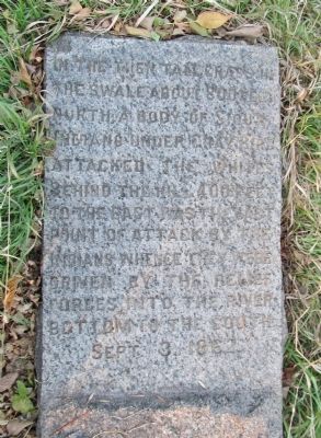
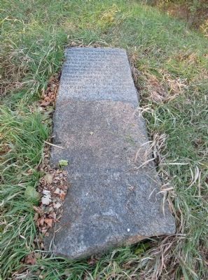
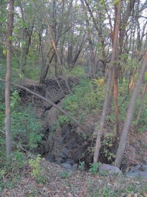
The Battle of Birch Coulee
Gray Bird
the swale, about 800 feet
north, a body of Sioux
Indians under Gray Bird
attacked the whites.
Behind the hill 400 feet
to the east was the last
point of attack by the
Indians, whence they were
driven by the relief
forces into the river
bottom to the south.
Sept. 3, 1862.
Erected 1898 by the Minnesota Valley Historical Society.
Topics. This historical marker is listed in this topic list: Wars, US Indian. A significant historical month for this entry is September 1838.
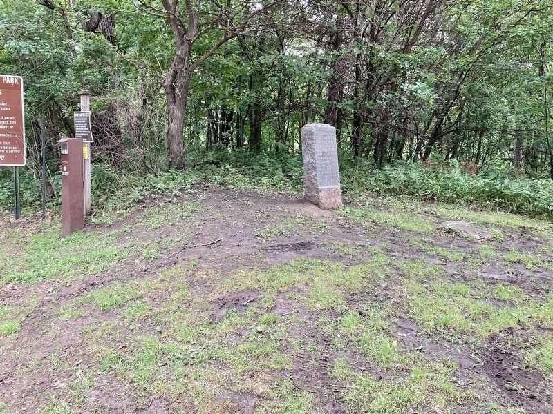
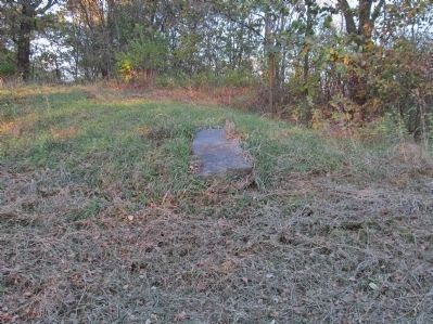
Location. 44° 34.456′ N, 94° 58.341′ W. Marker is near Morton, Minnesota, in Renville County. Marker can be reached from 350th Street, 0.2 miles south of 690th Avenue (County Road 2), on the left when traveling south. Marker is 0.4 miles east of 350th Street at Birch Coulee Park, east of Birch Coulee Battlefield. Touch for map. Marker is in this post office area: Morton MN 56270, United States of America. Touch for directions.
Other nearby markers. At least 8 other markers are within walking distance of this marker. Minnesota's Civil War (about 700 feet away, measured in a direct line); The Story of the Land (about 700 feet away); a different marker also named The Battle of Birch Coulee (approx. 0.2 miles away); After the Battle (approx. 0.2 miles away); Two Men, One War (approx. 0.2 miles away); Wrong Place, Wrong Time (approx. ¼ mile away); "A Beautiful Place to Encamp" (approx. ¼ mile away); The Battle Ends (approx. ¼ mile away). Touch for a list and map of all markers in Morton.
More about this marker. In 1862, the Minnesota Dakota, also known by the French term, “Sioux," waged war against the United States following two years of unfulfilled treaty obligations.
The Minnesota Valley Historical Society was composed of citizens of Renville and Redwood counties, that contracted with the Peterson Granite Company of St. Paul, to identify and mark historic sites. "As time passes the exact sites of many or these memorable incidents are liable to be lost, and the society wisely concluded to locate and mark them now, while there are living witnesses and other competent authorities to designate them."
Source: New Ulm Review; January 27, 1897
Regarding The Battle of Birch Coulee. It was determined to surround the camp that night and attack it at daylight the next morning. About 200 warriors were selected for the undertaking. These were the bands of Red Legs, Gray
Bird, Big Eagle, and Mankato, with perhaps some four other bands. The leaders were sub chiefs, with the exception of Gray Bird, who was the head soldier of Little Crow's Band.
The defenses of New Ulm, Fort Ridgely and Birch Coulie were as gallant episodes as any that are recorded in the military annals of the Republic, and yet the American historian commonly gives them but the briefest mention, or omits them entirely from his pages... 868 men, women, and children perished by actual count. Those killed whose remains were never found and the soldiers and citizens killed or mortally wounded in the hostile engagements with the Indians made the total death list number at least 950.
Excerpts from: Monuments and Tablets Erected by the Minnesota Valley Historical Society 1902
Also see . . .
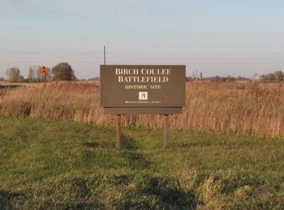
1. Birch Coulee Battlefield. Minnesota Historical Society website entry:
"The battle of Birch Coulee was fought on Sept. 2 and 3, 1862. On Sept. 1, a burial detail of 160 to 170 soldiers and civilians was dispatched from Fort Ridgely to bury the remains of settlers who had been killed in the early weeks of the U.S.-Dakota War. At the end of their first day out, a flat, open piece of ground near Birch Coulee Creek was selected for the night’s camp. During the night, the detail was surrounded by Dakota, who attacked at dawn. Badly outnumbered and highly exposed, the detail was under siege for nearly 36 hours." (Submitted on November 8, 2013.)
2. Battle of Birch Coulee. Wikipedia entry. "Colonel Sibley could hear the sounds of the battle from Fort Ridgely, about sixteen miles away, so he sent out a relief party of 240 men. Colonel McPhail, heading up the relief party, thought he was almost completely surrounded by the Sioux and sent back for more reinforcements. Sibley returned with more reinforcements and an artillery brigade." (Submitted on November 8, 2013.)
3. Birch Coulee Battlefield. Wikipedia entry. "Birch Coulee was the site of the Battle of Birch Coulee, one of the deadliest battles of the Dakota War of 1862." (Submitted on November 8, 2013.)
Additional keywords. U.S.-Dakota War of 1862
Credits. This page was last revised on July 26, 2023. It was originally submitted on November 8, 2013, by Keith L of Wisconsin Rapids, Wisconsin. This page has been viewed 677 times since then and 39 times this year. Last updated on July 31, 2020, by Connor Olson of Kewaskum, Wisconsin. Photos: 1, 2. submitted on November 8, 2013, by Keith L of Wisconsin Rapids, Wisconsin. 3. submitted on July 31, 2020, by Connor Olson of Kewaskum, Wisconsin. 4, 5, 6. submitted on November 8, 2013, by Keith L of Wisconsin Rapids, Wisconsin. • Mark Hilton was the editor who published this page.
