Lexington in Fayette County, Kentucky — The American South (East South Central)
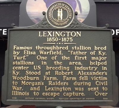
Lexington
1850-1875
Famous thoroughbred stallion bred by Elisha Warfield, "father of Ky. Turf." One of the first major stallions in the area, helped center US breeding industry in Ky. Stood at Robert Alexander's Woodburn Farm. Farm fell victim to Morgan's Raiders during Civil War, and Lexington was sent to Illinois to escape capture.
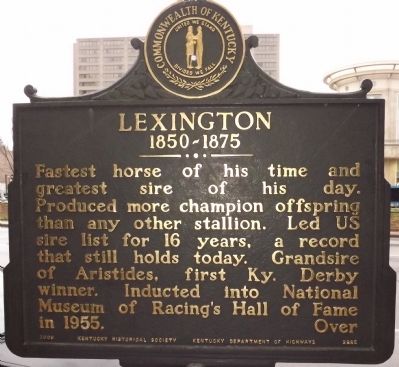
Reverse
Fastest horse of his time and greatest sire of his day. Produced more champion offspring than any other stallion. Led US sire list for 16 years, a record that still holds today. Grandsire of Aristides, first Ky. Derby winner. Inducted into National Museum of Racing's Hall of Fame 1955.
Erected 2009 by Kentucky Historical Society & Kentucky Department of Highways. (Marker Number 2285.)
Topics and series. This historical marker is listed in these topic lists: Animals • Entertainment • Sports. In addition, it is included in the Kentucky Historical Society series list. A significant historical year for this entry is 1955.
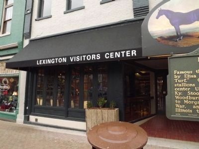
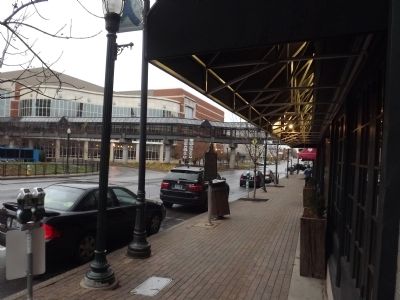
Location. 38° 2.966′ N, 84° 30.019′ W. Marker is in Lexington, Kentucky, in Fayette County. Marker is on W. Main Street (U.S. 421, 25) east of W. Vine Street (U.S. 421), on the right when traveling west. Touch for map. Marker is at or near this postal address: 473 W Main Street, Lexington KY 40507, United States of America. Touch for directions.
Other nearby markers. At least 8 other markers are within walking distance of this marker. Wanting Everyone to Have a Vote (within shouting distance of this marker); African American Physicians (about 300 feet away, measured in a direct line); St. Paul Catholic Church (about 300 feet away); Town Branch (about 400 feet away); Clark Hardware Company Building (about 400 feet away); Mary Todd Lincoln (about 400 feet away); First Inauguration (about 400 feet away); Pioneer Burying Ground (about 500 feet away). Touch for a list and map of all markers in Lexington.
Credits. This page was last revised on June 16, 2016. It was originally submitted on November 25, 2013, by Ken Smith of Milan, Tennessee. This page has been viewed 495 times since then and 28 times this year. Photos: 1, 2, 3, 4. submitted on November 25, 2013, by Ken Smith of Milan, Tennessee. • Al Wolf was the editor who published this page.


