Northern Waterfront in San Francisco City and County, California — The American West (Pacific Coastal)
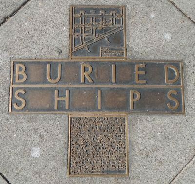
Buried Ships
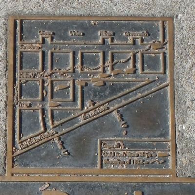
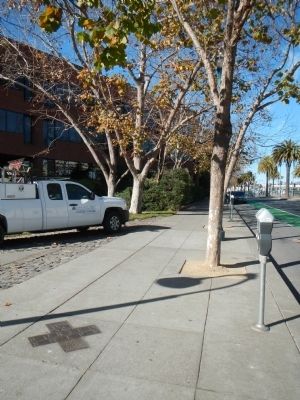
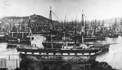
You are standing near the end of Cowell’s Wharf, dating back to early 1850s. As the map indicates a number of Gold Rush store-ships were moored as floating warehouses as far inland as Battery and Sansome Streets. With buildings in short supply, the ability to store incoming cargo until the price went up made the warehouses immensely profitable. Of the permanently moored vessels shown on the map, research indicates that the Rhone, Philip Hone, William Gary, Palmyra, and LeBaron were left in place and covered by fill. In February of 1980, archaeological excavation revealed a ship to be buried, with her deck lying 18 feet directly beneath the sidewalk along Battery Street, between Filbert and the Italian Swiss Colony Building. This Gold Rush vessel, believed to be the store-ship William Gray, remains buried there and is one of the estimated forty Gold Rush ships still entombed under the city streets of San Francisco.
Topics. This historical marker is listed in this topic list: Waterways & Vessels. A significant historical month for this entry is February 1980.
Location. 37° 48.122′ N, 122° 24.025′ W. Marker is in San Francisco, California, in San Francisco City and County. It is in Northern Waterfront. Marker is on The Embarcadero near Union Street, on the right when traveling south. Touch for map . Marker is at or near this postal address: 1098 The Embarcadero, San Francisco CA 94111, United States of America. Touch for directions.
Other nearby markers. At least 8 other markers are within walking distance of this marker. Those Who Harvest the Sea (within shouting distance of this marker); White Angel (about 500 feet away, measured in a direct line); Egg War of the Farallones (about 500 feet away); Gold Mountain (about 600 feet away); Green Street (about 600 feet away); Telegraph Hill (approx. 0.2 miles away); 901 battery (approx. 0.2 miles away); Building the Seawall (approx. 0.2 miles away). Touch for a list and map of all markers in San Francisco.
Related markers. Click here for a list of markers that are related to this marker. Other California Gold Rush ships
Also see . . . Buried Ships - SF Geneology. During the Gold Rush of 1849 and 1850s there were no railroads, airplanes, or automobiles. The fastest mode of transportation to the first stop for the gold fields, San Francisco, was aboard a vessel. By the summer of 1850, over 500 vessels were recorded as being anchored in the vicinity of Yerba Buena Cove. After they had arrived, whole crews abandoned their ships, along with the passengers, to make their way up to the gold fields. (Submitted on December 20, 2013, by Barry Swackhamer of Brentwood, California.)
Additional keywords. California Gold Rush, archaeology
Credits. This page was last revised on February 7, 2023. It was originally submitted on December 20, 2013, by Barry Swackhamer of Brentwood, California. This page has been viewed 962 times since then and 79 times this year. Photos: 1, 2, 3, 4. submitted on December 20, 2013, by Barry Swackhamer of Brentwood, California. • Syd Whittle was the editor who published this page.


