Near Chatham in Chatham-Kent, Ontario — Central Canada (North America)
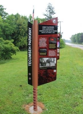
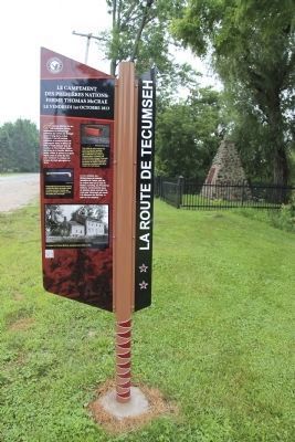
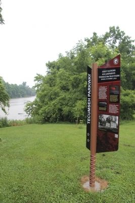
First Nations Encampment: Thomas McCrae Farm
Friday, October 1, 1813
— Tecumseh Parkway —
Inscription.
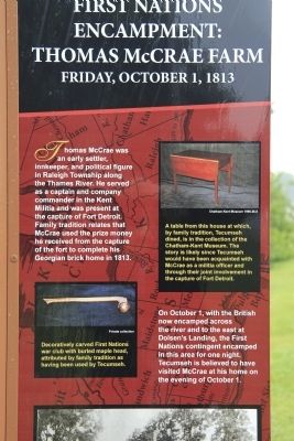
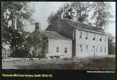
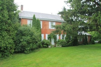
Thomas McCrae was an early settler, innkeeper, and political figure in Raleigh Township along the Thames River. He served as a captain and company commander in the Kent Militia and was present at the capture of Fort Detroit. Family tradition relates that McCrae used the prize money he received from the capture of the fort to complete his Georgian brick home in 1813.
On October 1, with the British now encamped across the river and to the east at Dolsen's Landing, the First Nations contingent encamped in this area for one night. Tecumseh is believed to have visited McCrae at his home on the evening of October 1.
Erected by Tecumseh Parkway.
Topics. This historical marker is listed in these topic lists: Native Americans • Settlements & Settlers • War of 1812. A significant historical month for this entry is October 1972.
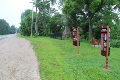
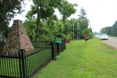
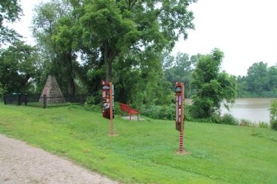
Location. 42° 22.909′ N, 82° 14.991′ W. Marker is near Chatham, Ontario, in Chatham-Kent. Marker is on Riverview Line (County Route 36) 2 kilometers west of Bloomfield Road, on the left when traveling east. This historical marker is located west of Chatham, at a small roadside park, on the north side of the road, close to a historical monument erected by the Historic Sites and Monuments Board of Canada, and very near the Thames River. Touch for map. Marker is at or near this postal address: 7391 Riverview Line, Chatham ON N7M 5J5, Canada. Touch for directions.
Other nearby markers. At least 8 other markers are within 6 kilometers of this marker, measured as the crow flies. Skirmish at McCrae's House (here, next to this marker); a different marker also named Skirmish at McCrae's House (a few steps from this marker); British Army River Crossing to Dolsen's Landing (approx. 1.9 kilometers away); Casualties of the Skirmish (approx. 6 kilometers away); Skirmish at the Forks (approx. 6 kilometers away); a different marker also named Skirmish at the Forks (approx. 6 kilometers away); British Encampment: Forks of the Thames (approx. 6 kilometers away); The Forks (approx. 6 kilometers away). Touch for a list and map of all markers in Chatham.
Also see . . .
1. Tecumseh Parkway | Longwoods Barn Quilt Trail. This is a link to an article regarding the Tecumseh Parkway that is provided by the Longwoods Barn Quilt Trail website. (Submitted on January 17, 2014, by Dale K. Benington of Toledo, Ohio.)
2. Tecumseh Parkway officially launched - Chatham Daily News. This is a link to a news article regarding the Tecumseh Parkway provided by the Chatham Daily News. (Submitted on January 17, 2014, by Dale K. Benington of Toledo, Ohio.)
Credits. This page was last revised on September 27, 2019. It was originally submitted on January 16, 2014, by Dale K. Benington of Toledo, Ohio. This page has been viewed 647 times since then and 7 times this year. Photos: 1, 2, 3, 4, 5, 6, 7, 8, 9. submitted on January 16, 2014, by Dale K. Benington of Toledo, Ohio.
