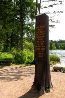
Near Shevlin in Clearwater County, Minnesota — The American Midwest (Upper Plains)
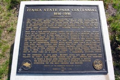
Itasca State Park Centennial
1891 - 1991
More than a half century passed before surveyor Jacob V. Brower, known today as the "father of Itasca," began his efforts to establish the area as a state park. At a time when most of Minnesota was not yet homesteaded and logging was the state's major industry, Brower struggled against tremendous odds and opposition to preserve this special place for future generations. Finally, in 1891, the legislature passed by one vote an act establishing 20,000 acres around Lake Itasca as Minnesota's first state park. Brower was named the first park commissioner, a position from which he staunchly fought poachers, politicians, and lumbermen. While he only partially succeeded in stopping logging before his death in 1905, he predicted that Itasca "will become easily accessible and of great value as a public resort," a remarkably accurate vision.
On the centennial of this park, 32,000 acres are now protected and enjoyed by over a half million visitors each year. Efforts are underway to begin a major pine restoration program to ensure the existence of giant pines and a diverse northwoods ecosystem for the next century and beyond.
Erected 1991 by Minnesota Historical Society and Minnesota State Parks.
Topics and series. This historical marker is listed in these topic lists: Environment • Exploration • Horticulture & Forestry. In addition, it is included in the Minnesota Historical Society series list. A significant historical year for this entry is 1832.
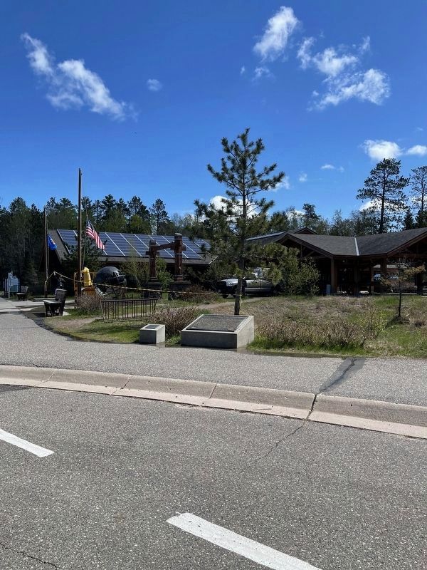
Location. 47° 14.406′ N, 95° 12.683′ W. Marker is near Shevlin, Minnesota, in Clearwater County. Marker can be reached from County Road 117, 0.3 miles south of County Road 122. Marker is located near the entrance to the Mary Gibbs Mississippi Headwaters Center located at the north end of Itasca State Park. Touch for map. Marker is in this post office area: Shevlin MN 56676, United States of America. Touch for directions.
Other nearby markers. At least 8 other markers are within 4 miles of this marker, measured as the crow flies. Search for the Mississippi's Source (about 500 feet away, measured in a direct line); Old Northwest Territory (approx. 0.2 miles away); Patterson's Homestead (approx. ¼ mile away); Theodore and Johanna Wegmann (approx. half a mile away); Wegmann Store Replica (approx. half a mile away); Geology of Minnesota (approx. 2½ miles away); From a Day When Trees Were Trees (approx. 3.6 miles away); Itasca Lake (approx. 3.7 miles away). Touch for a list and map of all markers in Shevlin.
Also see . . . Itasca State Park. Official state website of Itasca State Park. (Submitted on January 25, 2014.)
Credits. This page was last revised on September 22, 2022. It was originally submitted on January 25, 2014, by Duane Hall of Abilene, Texas. This page has been viewed 933 times since then and 34 times this year. Photos: 1. submitted on January 25, 2014, by Duane Hall of Abilene, Texas. 2. submitted on September 12, 2022, by Liz Koele of St. Paul, Minnesota. 3, 4, 5. submitted on January 13, 2015, by Duane Hall of Abilene, Texas.
