Near Joseph in Wallowa County, Oregon — The American West (Northwest)
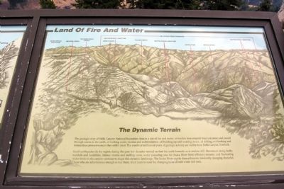
Land Of Fire And Water
The Dynamic Terrain
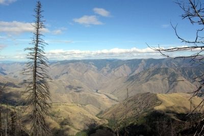
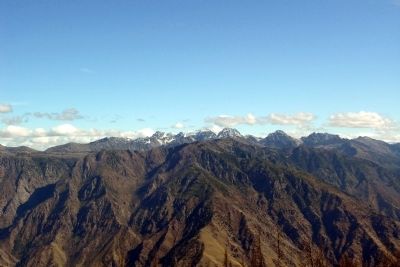
Small earthquakes in the region during the past few decades remind us that the earth beneath us is restless still. Movement along faults, rockfalls and landslides, intense storms and melting snow, water cascading into the Snake River from tributary streams, and fluctuating water levels in the canyon continue to shape this dynamic landscape. The Snake River rapids themselves are constantly-changing obstacles. Those who are adventurous enough to run them, must learn to read the changing faces of both water and rock.
Erected by United States Forest Service.
Topics. This historical marker is listed in this topic list: Natural Features.
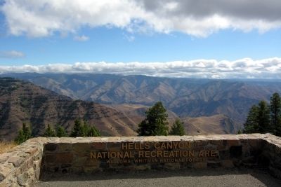
Location. 45° 7.433′ N, 116° 50.112′ W. Marker is near Joseph, Oregon, in Wallowa County. Marker can be reached from National Forest Service Road 490, 2 miles east of Wallowa Mountain Loop (Forest Service Road 39). Marker is located at the Hells Canyon Overlook vista area east of the parking lot. Touch for map. Marker is in this post office area: Joseph OR 97846, United States of America. Touch for directions.
Other nearby markers. At least 4 other markers are within 6 miles of this marker, measured as the crow flies. A Story Written in Stone (here, next to this marker); Hells Canyon National Recreation Area (within shouting distance of this marker); Look Over Hells Canyon ... (within shouting distance of this marker); The Bonneville Expedition (approx. 5.9 miles away).
Also see . . . Hells Canyon National Recreation Area. Official US Forest Service website. (Submitted on February 14, 2014.)
Credits. This page was last revised on June 16, 2016. It was originally submitted on February 14, 2014, by Duane Hall of Abilene, Texas. This page has been viewed 393 times since then and 9 times this year. Photos: 1, 2, 3, 4. submitted on February 14, 2014, by Duane Hall of Abilene, Texas.
Editor’s want-list for this marker. Photo of wide-view of marker and surroundings. • Can you help?


