San Leandro in Alameda County, California — The American West (Pacific Coastal)
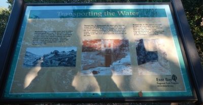
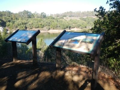
Transporting the Water
Lake Chabot Historical Walk
Hydraulicing:
Hydraulics were used to widen and strengthen the dam. In this sketch drawn by John Muir in 1888, look for the metal-lined wooden flume into which workmen shoveled and sprayed earth from nearby hills that gravity would move to the dam. Notice the superintendent’s cottage that used to sit on top of the hill.
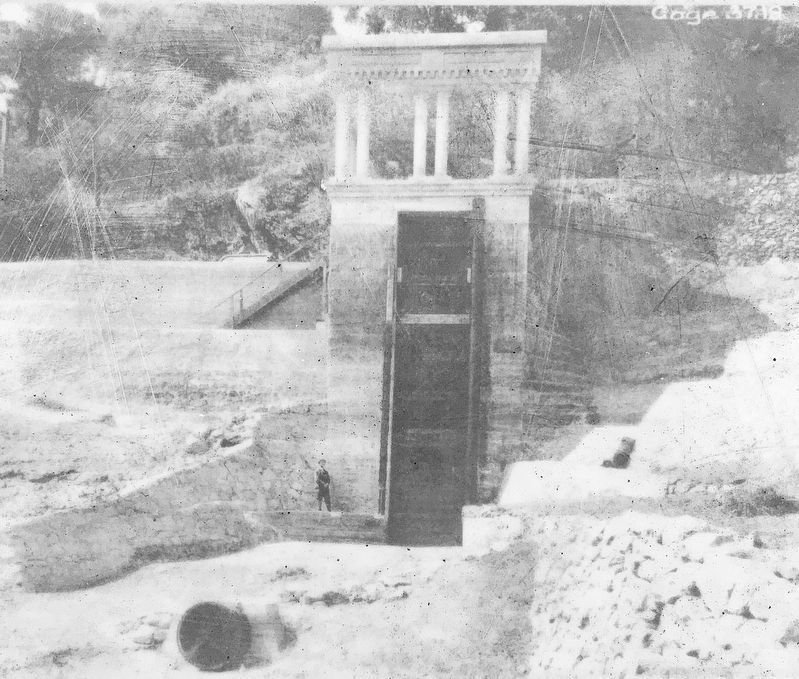
Tunnel No. 2:
Underneath the mock neo-classical temple lies the inlet of Tunnel No. 2, which was completed in 1875. It connected reservoir waters to the main Oakland pipelines in 1876. The decorative temple, named “Diana’s Temple,” was built in 1917. Note for scale the man standing at the bottom-left of the inlet.
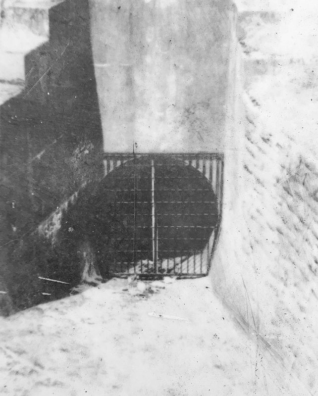
Tunnel No. 3:
This tunnel was built in 1889 as a secondary spillway to move excess water from the reservoir back to San Leandro Creek. Dug and dynamited 1,438 feet through rock, the exit is visible near the city of San Leandro’s Chabot Park.
Erected 2012 by East Bay Regional Park District.
Topics. This historical marker is listed in these topic lists: Industry & Commerce • Waterways & Vessels. A significant historical year for this entry is 1888.
Location. 37° 43.803′ N, 122° 7.231′ W. Marker is in San Leandro, California, in Alameda County. Marker can be reached from Estudillo Avenue. The one mile Lake Chabot Historical Walk begins at the parking lot at the end of Estudillo Avenue. This marker is about one mile from the beginning of the trail. Touch for map. Marker is at or near this postal address: 1799 Estudillo Avenue, San Leandro CA 94577, United States of America. Touch for directions.
Other nearby markers. At least 8 other markers are within walking distance of this marker. To Build a Dam (here, next to this marker); Chabot Dam (a few steps from this marker); Of Fins and Flippers (about 400 feet away, measured in a direct line); Taming the Waters’ Flow (about 700 feet away); Yem-Po: Chinese Labor Camp (approx. 0.2 miles away); Tunnel No. 1 Control Shaft (approx. 0.2 miles away); A Zoo, a Monkey, and a Mansion Here Too! (approx. 0.2 miles away); Filtration Basins (approx. 0.4 miles away). Touch for a list and map of all markers in San Leandro.
Credits. This page was last revised on October 14, 2021. It was originally submitted on February 14, 2014, by Barry Swackhamer of Brentwood, California. This page has been viewed 495 times since then and 28 times this year. Photos: 1, 2. submitted on February 14, 2014, by Barry Swackhamer of Brentwood, California. 3, 4. submitted on October 14, 2021, by Craig Baker of Sylmar, California. • Syd Whittle was the editor who published this page.


