Near Menard in Menard County, Texas — The American South (West South Central)
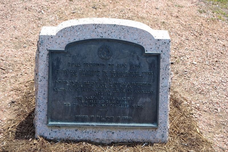
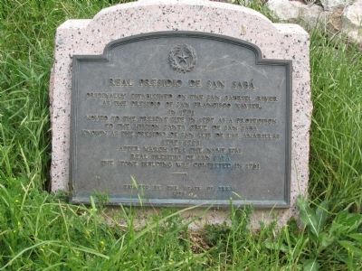
Real Presidio de San Saba
Moved to the present site in 1757 as a protection to the Mission Santa Cruz de San Saba
Known as the Presidio de San Luis de Las Amarillas 1757-1761
After March 1761 the name was Real Presidio de San Saba
The stone building was completed in 1761
Erected 1936 by State of Texas. (Marker Number 4212.)
Topics and series. This historical marker is listed in these topic lists: Colonial Era • Forts and Castles. In addition, it is included in the Texas 1936 Centennial Markers and Monuments series list. A significant historical year for this entry is 1751.
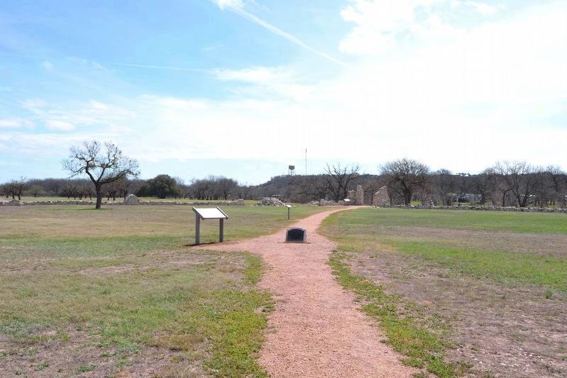
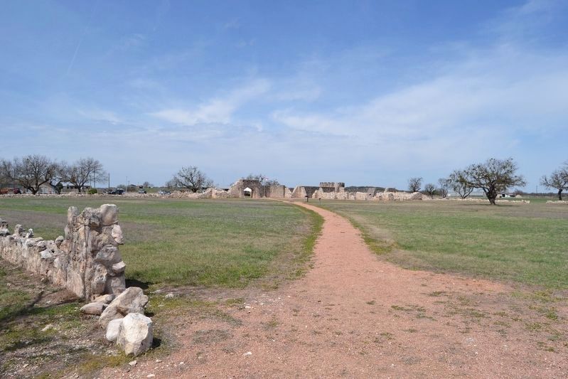
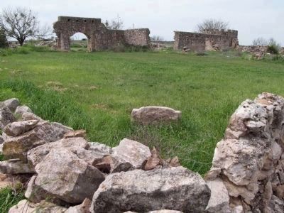
Location. 30° 55.344′ N, 99° 48.1′ W. Marker is near Menard, Texas, in Menard County. Marker can be reached from U.S. 190, 0.8 miles west of Frisco Avenue (U.S. 83). Marker is on the grounds of the partially reconstructed presidio at the Menard Country Club. Touch for map. Marker is in this post office area: Menard TX 76859, United States of America. Touch for directions.
Other nearby markers. At least 8 other markers are within walking distance of this marker. Restoration and Reconstruction (here, next to this marker); VIP Quarters (within shouting distance of this marker); Plaza (within shouting distance of this marker); Livestock Corral (within shouting distance of this marker); NW Bastion (within shouting distance of this marker); Presidio de San Sabá (within shouting distance of this marker); Bastions of Defense (within shouting distance of this marker); Welcome To Menard (about 400 feet away, measured in a direct line). Touch for a list and map of all markers in Menard.
Additional commentary.
1. Confusion over Presidio vs. Mission
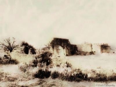
Two points of confusion worth noting about the Presidio and Mission San Saba if you are planning a trip there. One might reasonably guess that the Presidio and Mission San Saba were located in San Saba, Texas, but they are in fact in Menard, Texas. Also, the Presidio is often mistakingly called the Mission. Even Google Maps as of 2010, mistakingly labels the Presidio San Saba (which is on the golf course in Menard) as Mission San Saba. The Mission was destroyed in 1758, and its location only recently confirmed in the 1990s.
— Submitted April 8, 2010, by Richard Denney of Austin, Texas.
2. Relocation of Marker
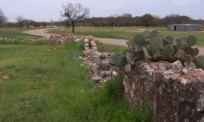
As part of the reconstruction of the presidio in 2011, the marker was moved from the presidio's southeast corner to the plaza center of the presidio.
— Submitted April 2, 2018, by Duane Hall of Abilene, Texas.
Credits. This page was last revised on August 27, 2020. It was originally submitted on April 8, 2010, by Richard Denney of Austin, Texas. This page has been viewed 2,231 times since then and 35 times this year. Last updated on March 1, 2014, by Richard Denney of Austin, Texas. Photos: 1, 2, 3. submitted on April 2, 2018, by Duane Hall of Abilene, Texas. 4. submitted on April 25, 2010, by Richard Denney of Austin, Texas. 5. submitted on August 10, 2010, by Richard Denney of Austin, Texas. 6. submitted on April 8, 2010, by Richard Denney of Austin, Texas. 7. submitted on April 22, 2010, by Gregory Walker of La Grange, Texas. 8. submitted on April 28, 2010, by Richard Denney of Austin, Texas. • Bernard Fisher was the editor who published this page.
