Royalton in Niagara County, New York — The American Northeast (Mid-Atlantic)
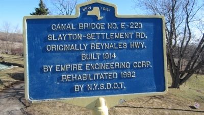
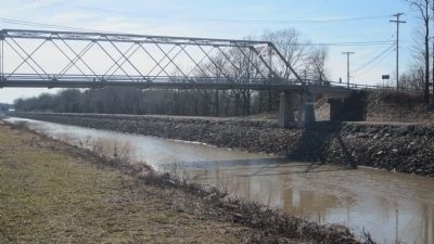
Canal Bridge No. E-220
Inscription.
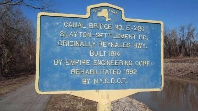
Slayton-Settlement Road. Originally Reynales Hwy. Built 1914 by Empire Engineering Corp. Rehabilitated 1992 by N.Y.S.D.O.T.
Topics. This historical marker is listed in these topic lists: Bridges & Viaducts • Waterways & Vessels. A significant historical year for this entry is 1914.
Location. 43° 12.385′ N, 78° 32.742′ W. Marker is in Royalton, New York, in Niagara County. Marker is at the intersection of Slayton Settlement Road and Telegraph Road on Slayton Settlement Road. There are actually two identical markers, one for roadway travelers, and the other for canal travelers. The roadside marker is located at the southern terminus of bridge roadway and is directly facing the southbound traveler over the bridge. The canalside marker is immediately north and east of the bridge along the canal towpath. Touch for map. Marker is in this post office area: Gasport NY 14067, United States of America. Touch for directions.
Other nearby markers. At least 8 other markers are within 3 miles of this marker, measured as the crow flies. Mill District (approx. one mile away); Major J. Morrison (approx. 1.4 miles away); Gasport (approx. 1.6 miles away); Veterans Memorial (approx. 1.6 miles away); 150th Anniversary (approx. 1.6 miles away); Academy 1850-70 (approx. 1.6 miles away); Cobblestone House (approx. 2.1 miles away); Town of Hartland World War I and World War II Memorial (approx. 2.3 miles away). Touch for a list and map of all markers in Royalton.
More about this marker. The bridge pier and marker are labeled as Slayton-Settlement Road, although some maps may label it as Root Road.
Also see . . . Reynales Basin Bridge - Slayton Settlement Road Bridge - Historic Bridges.Org. (Submitted on April 12, 2014, by Anton Schwarzmueller of Wilson, New York.)
Additional keywords. Erie Canal
Photographed By Anton Schwarzmueller, April 6, 2014
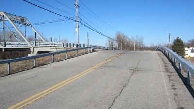
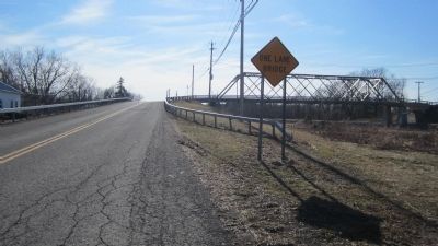
4. Southeast Approach to Canal Bridge No. E-220 Marker
The south approaches to the bridge are perpendicular to the bridge, parallel to Telegraph Rd., and may be labeled on maps as Telegraph Rd. Note the One Lane Bridge sign. There are no roadway controls for who has the right of way on the bridge.

Photographed By Anton Schwarzmueller, April 6, 2014
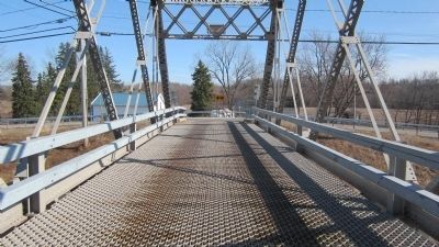
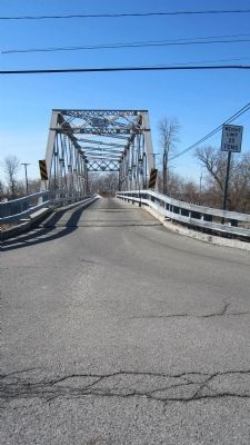
6. Southward View Canal Bridge Roadway
Marker is out of view at the end of the roadway and to the right. Slayton Settlement Road approaches from the right; Root Road approaches from the left. Beyond the picture to the right, there is a break in the guard rail where a paved walking path descends to the canal tow path.
Photographed By Anton Schwarzmueller, April 6, 2014
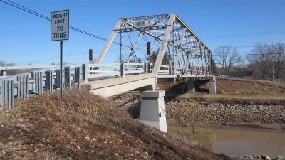
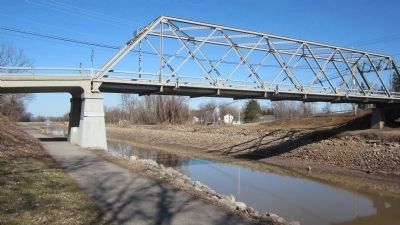
10. Eastward View Canal Bridge No. E-220 and Canalside Marker
The twin marker is seen in the distance beyond and to the left of the closer bridge pier. Note the Slayton Settlement road sign on the pier. This view is from the north side of the Erie Canal, which is still drained for the off-season.
Photographed By Anton Schwarzmueller, April 6, 2014
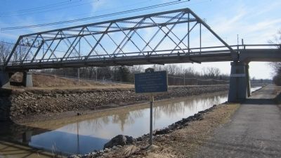
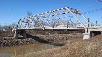
13. Eastward View Canal Bridge No. E-220 and Identical Twin Marker
From the south side of the Erie Canal. The Canalside identical twin marker is almost dead center. The sloped path to the towpath is just beyond the picture to the left and accross the canal.
Credits. This page was last revised on June 16, 2016. It was originally submitted on April 11, 2014, by Anton Schwarzmueller of Wilson, New York. This page has been viewed 389 times since then and 25 times this year. Photos: 1, 2, 3, 4, 5, 6, 7, 8, 9, 10, 11, 12. submitted on April 11, 2014, by Anton Schwarzmueller of Wilson, New York. 13. submitted on April 12, 2014, by Anton Schwarzmueller of Wilson, New York. • Bill Pfingsten was the editor who published this page.
