Sharpsburg in Washington County, Maryland — The American Northeast (Mid-Atlantic)
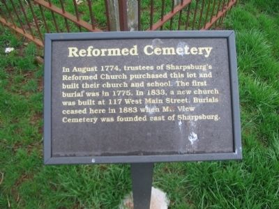
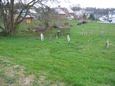
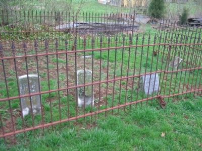
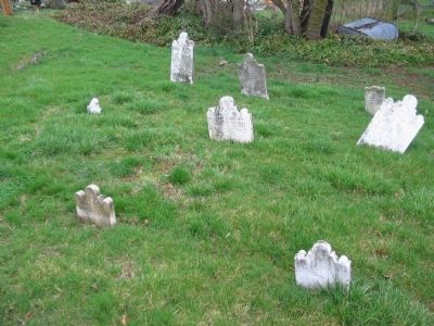
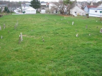
Reformed Cemetery
Erected by Washington County Historical Advisory Committee.
Topics and series. This historical marker is listed in these topic lists: Cemeteries & Burial Sites • Churches & Religion. In addition, it is included in the Maryland, Washington County Historical Advisory Committee series list. A significant historical year for this entry is 1774.
Location. 39° 27.576′ N, 77° 44.914′ W. Marker is in Sharpsburg, Maryland, in Washington County. Marker is on East Chapline Street, on the right when traveling east. Touch for map. Marker is in this post office area: Sharpsburg MD 21782, United States of America. Touch for directions.
Other nearby markers. At least 8 other markers are within walking distance of this marker. Korean Conflict Memorial (about 500 feet away, measured in a direct line); In Recognition of the Patriotism Shown by All Who Answered Our Country's Call in the World War (about 500 feet away); Viet Nam Era Memorial (about 500 feet away); General Edward Braddock (about 500 feet away); Sharpsburg Bluebirds (about 500 feet away); William Chapline House (about 600 feet away); The Historic Grove House (about 600 feet away); Kretzer Homestead (about 600 feet away). Touch for a list and map of all markers in Sharpsburg.
Also see . . . Reformed Cemetery. A listing of some of the graves in the cemetery. (Submitted on April 25, 2008, by Craig Swain of Leesburg, Virginia.)
Credits. This page was last revised on June 16, 2016. It was originally submitted on April 25, 2008, by Craig Swain of Leesburg, Virginia. This page has been viewed 1,202 times since then and 15 times this year. Photos: 1, 2, 3, 4, 5. submitted on April 25, 2008, by Craig Swain of Leesburg, Virginia.
