Ripley in Jackson County, West Virginia — The American South (Appalachia)
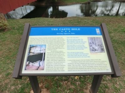
The Casto Hole
Serving Opposite Sides
Two prominent residents, Nicholas Casto and Elihugh Powers, took opposite positions during the war. Casto became a captain in the Home Guard that was formed to protect Unionists from Confederate raiders, while Powers supported the Confederacy. The Guard sometimes gathered in a nearby cavern on Straight Run, a branch of Tug Fork of Mill Creek. The cavern became known as the Casto Hole. It also served local residents who wished to conceal their property from the foraging soldiers of both sides.
According to legend, Casto wrote a poem critical of the Confederacy and Powers, who then retaliated with his own poem. It soon became a ballad: “The Casto Hole.” Allegedly, while Powers was shingling a roof, he wrote twenty-seven verses, one on each shingle, nineteen verses survived. Although the lyrics blistered Casto and the Unionists, the song became so popular that even the Casto family was said to enjoy it after the war ended.
From “The Casto Hole”:
Far in the woods on Upper Tug
They wrap old Union in a rug
Where Nicolas reads the Union Roll
And rallies ‘round the Casto Hole.
The Casto Hole is a cavern deep
Where Union men can quite sleep
Where all their warlike plans unfold
While forted in the Casto Hole.
…
Poor old Joel, he died of late
And took his flight to the Pearly Gate
Saint Peter knew the poor old soul
And kicked him back to the Casto Hole.
(captions)
(lower left) Cavern above the Casto Hole - Courtesy Mike McGrew
(upper right) Home Guard meeting Courtesy West Virginia State Archives
Erected by West Virginia Civil War Trails.
Topics and series. This historical marker is listed in this topic list: War, US Civil. In addition, it is included in the West Virginia Civil War Trails series list.
Location. 38° 47.671′ N, 81° 41.221′ W. Marker is in Ripley, West Virginia, in Jackson County. Marker is on FFA Drive east of Cedar Creek Drive (County Route 25), on the left when traveling east. Touch for map. Marker is at or near this postal address: 82 FFA Drive, Ripley WV 25271, United States of America. Touch for directions.
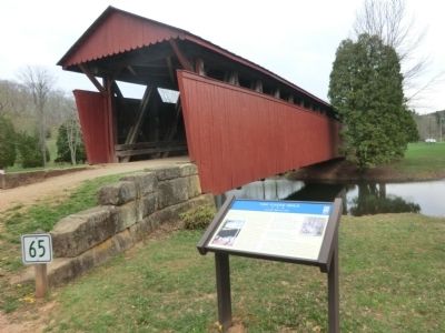
Other nearby markers. At least 8 other markers are within 3 miles of this marker, measured as the crow flies. Staats Mill Covered Bridge (a few steps from this marker); Ripley (approx. 2.1 miles away); Jackson County Veterans Memorial Park (approx. 2.2 miles away); Raid on Ripley (approx. 2.2 miles away); a different marker also named Ripley (approx. 2.2 miles away); a different marker also named Ripley (approx. 2.2 miles away); Partisan Raid (approx. 2.2 miles away); Civil War Memorial (approx. 2.2 miles away). Touch for a list and map of all markers in Ripley.
Credits. This page was last revised on June 16, 2016. It was originally submitted on May 12, 2014, by Don Morfe of Baltimore, Maryland. This page has been viewed 2,349 times since then and 95 times this year. Photos: 1, 2. submitted on May 12, 2014, by Don Morfe of Baltimore, Maryland. • Bill Pfingsten was the editor who published this page.

