Near Milhousen in Ripley County, Indiana — The American Midwest (Great Lakes)
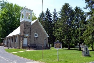
Union Church
(Side One)
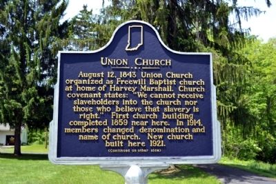
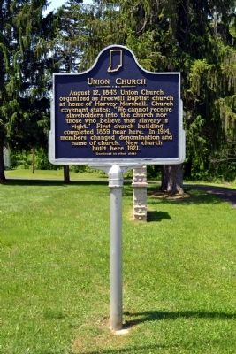
August 12, 1843 Union Church organized as Freewill Baptist church at home of Harvey Marshall. Church covenant states: “We cannot receive slaveholders into the church nor those who believe that slavery is right.” First church building completed 1859 near here. In 1914, members changed denomination and name of church. New church built here 1921.
(Side Two)
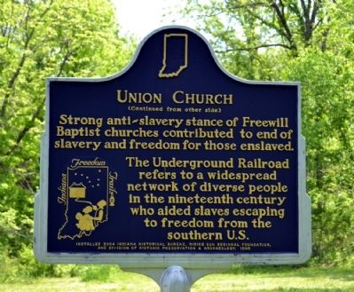
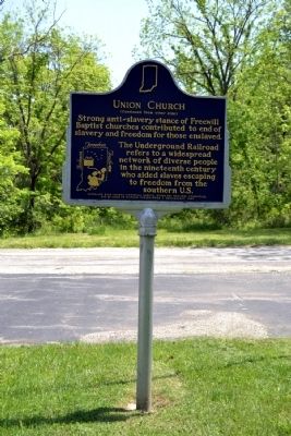
Strong anti-slavery stance of Freewill Baptist churches contributed to end of slavery and freedom for those enslaved. The Underground Railroad refers to a widespread network of diverse people in the nineteenth century who aided slaves escaping to freedom from the southern U.S.
Erected 2004 by Indiana Historical Bureau, Rising Sun Regional Foundation, and Division of Historic Preservation & Archaeology, IDNR. (Marker Number 69.2004.1.)
Topics and series. This historical marker is listed in these topic lists: Abolition & Underground RR • Churches & Religion. In addition, it is included in the Indiana Historical Bureau Markers series list. A significant historical year for this entry is 1843.
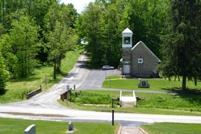
Location. 39° 9.96′ N, 85° 26.201′ W. Marker is near Milhousen, Indiana, in Ripley County. Marker is at the intersection of County Road N 975W and W. Flatrock Road, on the right when traveling north on County Road N 975W. Touch for map. Marker is at or near this postal address: 6303 N County Road 975W, Osgood IN 47037, United States of America. Touch for directions.
Other nearby markers. At least 8 other markers are within 7 miles of this marker, measured as the crow flies. Union Flat Rock Cemetery Memorial (within shouting distance of this marker); Westport Covered Bridge (approx. 5.9 miles away); Berry's Trace (approx. 6.3 miles away); Barbara Fox, Pioneer Lady Inventor (approx. 6.3 miles away); Elias Conwell House (approx. 6.3 miles away); Central House (approx. 6.4 miles away); Artist John W. Love (approx. 6.4 miles away); Centre of Population of the United States 1890 (approx. 6.6 miles away).
More about this marker. The marker is part of the Indiana Freedom Trails, a State historical marker program dedicated especially to the interpretation of the Underground Railroad in Indiana. The program has three purposes: “to document and interpret Underground Railroad history in Indiana; to bring attention to that history with a visual reminder of the importance of those people, places, and events which constitute the history and context of the Underground Railroad in Indiana; and to assist the many individuals and groups — especially Indiana Freedom Trails — working to preserve the Underground Railroad history of Indiana through a heightened awareness of their existence and needs.”
Also see . . . IHB Annotations. The Indiana Historical Bureau provides annotations for the text of the marker on their website. (Submitted on May 26, 2014.)
Additional commentary.
1. Ripley County Underground Railroad
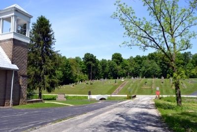
Union Church and the cemetery are a stop on one of the Ripley County Underground Railroad Driving Trails.
— Submitted May 26, 2014, by Duane Hall of Abilene, Texas.
Credits. This page was last revised on June 16, 2016. It was originally submitted on May 26, 2014, by Duane Hall of Abilene, Texas. This page has been viewed 781 times since then and 61 times this year. Photos: 1, 2, 3, 4, 5, 6, 7. submitted on May 26, 2014, by Duane Hall of Abilene, Texas.
