Huntly in Rappahannock County, Virginia — The American South (Mid-Atlantic)
Piedmont
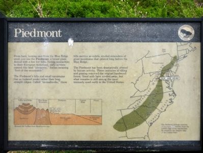
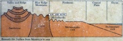
The Piedmont's hills and small mountains rise as isolated peaks rather than long straight ridges. Called "Monadnocks," these hills survive as subtle, eroded reminders of the great mountains that existed long before the Blue Ridge.
The Piedmont has been dramatically altered by human activity. Three centuries of tilling and grazing removed the original hardwood forest. Good soils have eroded away, but what remains is still among the most intensely used earth in the United States.
Erected by Shenandoah National Park.
Topics. This historical marker is listed in this topic list: Natural Features.
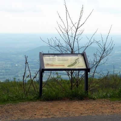
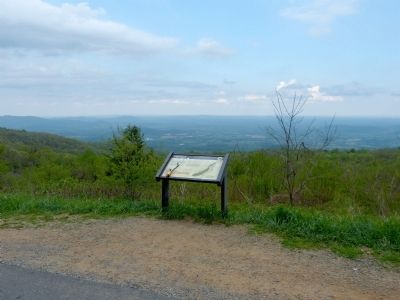
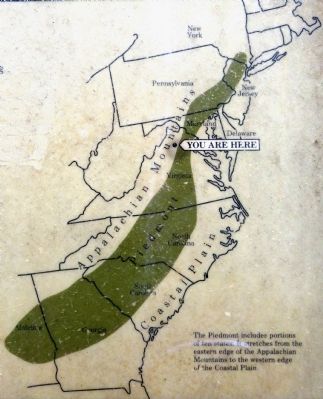
Location. 38° 47.618′ N, 78° 10.92′ W. Marker is in Huntly, Virginia, in Rappahannock County. Marker is on Skyline Drive, 13.8 miles south of Stonewall Jackson Highway (U.S. 340), on the right when traveling north. The marker is on an overlook along the Skyline Drive. Touch for map. Marker is in this post office area: Huntly VA 22640, United States of America. Touch for directions.
Other nearby markers. At least 8 other markers are within 5 miles of this marker, measured as the crow flies. Come Back When You Have More Time (approx. 3.2 miles away); A Skyline Drive for a Bird's-Eye View (approx. 3.2 miles away); Indian Old Fields (approx. 3.6 miles away); Hittle's Mill (approx. 4.2 miles away); Albert G. Willis (approx. 4.6 miles away); No Park is an Island (approx. 4.7 miles away); The Massanutten (approx. 4.7 miles away); Flint Hill Baptist Church (approx. 4.9 miles away).
Credits. This page was last revised on August 8, 2017. It was originally submitted on May 30, 2014, by Allen C. Browne of Silver Spring, Maryland. This page has been viewed 462 times since then and 15 times this year. Last updated on May 30, 2014, by Keith S Smith of West Chester, Pennsylvania. Photos: 1, 2, 3, 4, 5, 6. submitted on May 30, 2014, by Allen C. Browne of Silver Spring, Maryland. • Bill Pfingsten was the editor who published this page.
