East Hartford in Hartford County, Connecticut — The American Northeast (New England)
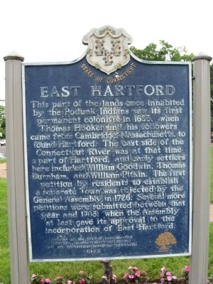
East Hartford
Erected by the Town of East Hartford
the East Hartford Historical Society
and the Connecticut Historical Commission
1973
Erected 1973 by the Town of East Hartford, the East Hartford Historical Society and the Connecticut Historical Commission.
Topics. This historical marker is listed in these topic lists: Colonial Era • Settlements & Settlers. A significant historical year for this entry is 1655.
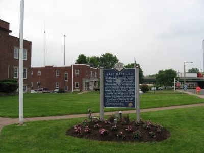
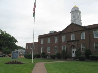
Location. 41° 45.965′ N, 72° 38.728′ W. Marker is in East Hartford, Connecticut, in Hartford County. Marker is at the intersection of Main Street and Carroll Road, on the right when traveling north on Main Street. Located in front of East Hartford Town Hall. Touch for map. Marker is at or near this postal address: 740 Main Street, East Hartford CT 06108, United States of America. Touch for directions.
Other nearby markers. At least 8 other markers are within 2 miles of this marker, measured as the crow flies. East Hartford World War I Monument (about 800 feet away, measured in a direct line); East Hartford Civil War Monument (approx. 0.3 miles away); Historic Center Cemetery (approx. 0.3 miles away); Union (approx. one mile away); Lincoln Meets Stowe (approx. 1.1 miles away); The Founders Bridge (approx. 1.1 miles away); William H. Mortensen Riverfront Plaza (approx. 1.2 miles away); a different marker also named William H. Mortensen Riverfront Plaza (approx. 1.2 miles away). Touch for a list and map of all markers in East Hartford.
Also see . . .
1. Town of East Hartford, Connecticut. (Submitted on June 8, 2014, by Michael Herrick of Southbury, Connecticut.)
2. East Hartford, Connecticut on Wikipedia. (Submitted on June 8, 2014, by Michael Herrick of Southbury, Connecticut.)
Credits. This page was last revised on June 16, 2016. It was originally submitted on June 8, 2014, by Michael Herrick of Southbury, Connecticut. This page has been viewed 601 times since then and 23 times this year. Photos: 1, 2, 3. submitted on June 8, 2014, by Michael Herrick of Southbury, Connecticut.


