Near Wardensville in Hardy County, West Virginia — The American South (Appalachia)
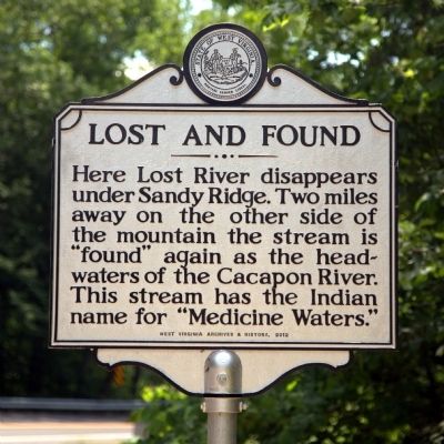
Lost and Found
Erected 2012 by West Virginia Archives and History.
Topics and series. This historical marker is listed in this topic list: Natural Features. In addition, it is included in the West Virginia Archives and History series list.
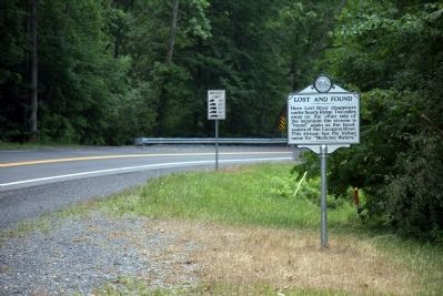
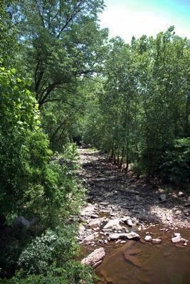
Location. 39° 3.943′ N, 78° 39.291′ W. Marker is near Wardensville, West Virginia, in Hardy County. Marker is on Old West Virginia Route 55 just east of Pinnacle Drive. It is at the bridge over the Lost River Sink. Touch for map. Marker is in this post office area: Wardensville WV 26851, United States of America. Touch for directions.
Other nearby markers. At least 8 other markers are within 10 miles of this marker, measured as the crow flies. Son of Man (approx. 3.2 miles away); Veterans Memorial (approx. 3.4 miles away); Wardensville (approx. 3˝ miles away); a different marker also named Wardensville (approx. 3˝ miles away); Oriskany Sand (approx. 3.9 miles away); West Virginia (Hardy County) / Virginia (approx. 7.7 miles away); Capon Springs (approx. 9.1 miles away); Capon Lake Whipple Truss Bridge (approx. 9.1 miles away). Touch for a list and map of all markers in Wardensville.
Also see . . . Wikipedia Entry for the Cacapon River. “The Cacapon River emerges from underground in a gap in Sandy Ridge (1683 feet/513 m) west of Wardensville. It is actually the reemergence of the Lost River, which sinks into an underground channel east of McCauley near the entrance to Camp Pinnacle. From its emergence, the Cacapon River creates a horseshoe bend shaped gap through Sandy Ridge and flows east paralleling West Virginia Old Route 55 then northeast paralleling West Virginia Route 259.” (Submitted on June 16, 2014.)
Credits. This page was last revised on June 16, 2016. It was originally submitted on June 16, 2014, by J. J. Prats of Powell, Ohio. This page has been viewed 1,472 times since then and 73 times this year. It was the Marker of the Week June 22, 2014. Photos: 1, 2, 3. submitted on June 16, 2014, by J. J. Prats of Powell, Ohio.


