Near Otsego in Allegan County, Michigan — The American Midwest (Great Lakes)
Welcome to Pine Creek
Here Sat the Community of Pine Creek
— Allegan County Heritage Trail —
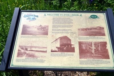
Settled in 1831 by the Hull Sherwood and Giles Scott families of Rochester, New York, the Pine Creek area was first called “New Rochester.” Allegan County’s first grist mill was constructed here in 1834, attracting customers from miles around, and the area’s first bridge across the Kalamazoo River was built the following year. The town site was quickly overshadowed by nearby Otsego, and the idea of New Rochester as an important center never happened. It instead became known generally as Pine Creek and with its hotel named the Pine Creek House, a couple of blacksmith shops and a three-story grist mill, the area largely served farmers and their families living west of Otsego.
In 1899 the village was given the name of “Dent” and a post office was established here. The new name was short-lived however, when in 1902 the Kalamazoo Valley Electric Company bought out the town’s land, built a dam on the river, and used the former Pine Creek area as backwater flooding.
Before the area was flooded, several buildings were moved east on Jefferson road and one house was even moved all the way to Otsego. Several of these old Pine Creek buildings still exist.
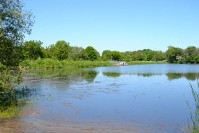
When the waters of Pine Creek Lake are occasionally lowered, pilings from the old grist mill become visible at the water’s edge.
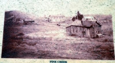
Pine Creek
The settlement of Pine Creek was on the move in this 1903 image. Most of these buildings were eventually moved up the hill closer to Otsego, and one house was moved all the way into downtown Otsego. Notice the bridge in the background that went over the river.
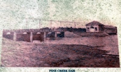
Pine Creek Dam
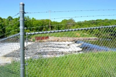
This is an image of the Pine Creek Dam soon after construction in 1903. It was located approximately one mile west of here on River Road. The dam was heavily damaged by floods the following spring and then quickly repaired. It served its purpose until it was dismantled in the 1960s. Portions still remain at site #3.
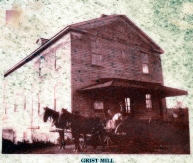
Grist Mill
One of the earliest grist mills in Allegan County could be found at Pine Creek. Built in the early 1830s, it served farmers in this area for many years before being torn down in 1902. Occasionally the pilings of the old mill are visible to the south of Jefferson Road during low water periods.
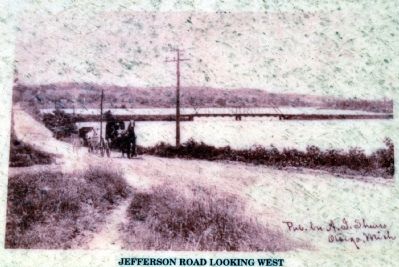
Jefferson Road Looking West
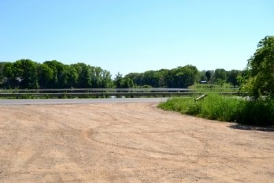
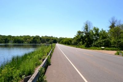
Folks going from Otsego to Allegan traveled west on Jefferson Road and then crossed the Kalamazoo River on the bridge shown here. By the time of this photograph, all of the Pine Creek buildings had been removed and the dam was built, resulting in the flooding of the backwater areas shown here. Jefferson Road had also been raised 11 feet by the time of this photograph.
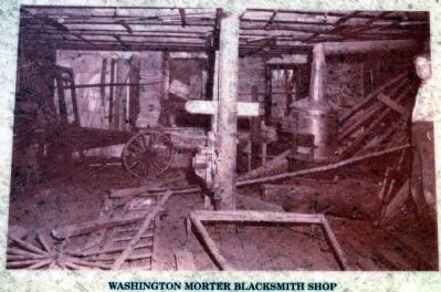
Washington Mortar Blacksmith
Shop
Every community needed a blacksmith and Wash Mortar fulfilled that role at Pine Creek. Morter’s shop was located at the bottom of the hill and on the south side of Jefferson Road. Before the area was flooded for the new dam, his building was moved a short way east up the hill and on the north side of the road. This 1950s interior view shows Mr. Will Carroll standing among various blacksmithing equipment left from earlier days.
Erected by Township of Otsego. (Marker Number Stop 3.)
Topics. This historical marker is listed in these topic lists: Settlements & Settlers • Waterways & Vessels. A significant historical year for this entry is 1831.
Location. 42° 27.405′ N, 85° 43.994′ W. Marker is near Otsego, Michigan, in Allegan County. Marker is on Jefferson Road, 0.1 miles west of 19th Street, on the right when traveling west. Touch for map. Marker is in this post office area: Otsego MI 49078, United States of America. Touch for directions.
Other nearby markers. At least 8 other markers are within 8 miles of this marker, measured as the crow flies. Welcome to the City of Otsego (approx. 1.9 miles away); Otsego Methodist Church (approx. 2 miles away); Otsego Civil War Memorial (approx. 2.1 miles away); Michigan Paper Company Mill (approx. 4.7 miles away); Soule Memorial Fountain (approx. 4.7 miles away); Early History of Martin
(approx. 7.2 miles away); Geib Veterans Memorial (approx. 7.4 miles away); The Second Street Bridge (approx. 7.6 miles away). Touch for a list and map of all markers in Otsego.
More about this marker. The marker is at Site #2 of the Allegan County Heritage Trail (driving tour).
Credits. This page was last revised on August 5, 2023. It was originally submitted on June 19, 2014, by Duane Hall of Abilene, Texas. This page has been viewed 830 times since then and 67 times this year. Photos: 1, 2, 3, 4, 5, 6, 7, 8, 9, 10. submitted on June 19, 2014, by Duane Hall of Abilene, Texas.
