Lockport in Niagara County, New York — The American Northeast (Mid-Atlantic)
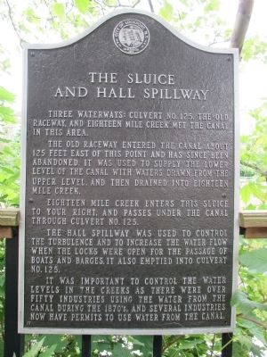
The Sluice and Hall Spillway
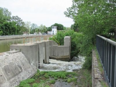
Three waterways: Culvert No. 125, the old raceway, and Eighteen Mile Creek, met the canal in this area.
The old raceway entered the canal about 125 feet east of this point and has since been abandoned. It was used to supply the lower level of the canal with waters drawn from the upper level, and then drained into Eighteen Mile Creek.
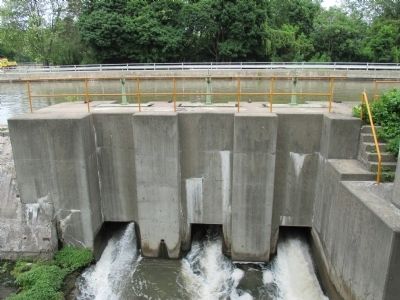
Eighteen Mile Creek enters this sluice to your right, and passes under the canal through Culvert No. 125.
The Hall Spillway was used to control the turbulence and to increase the water flow when the locks were open for the passage boats and barges. It also emptied into culvert No. 125. It was important to control the water levels in the creek as there were over fifty industries using the water from the canal during the 1870's, and several industries now have permits to use water from the canal.
Topics and series. This historical marker is listed in this topic list: Waterways & Vessels. In addition, it is included in the Erie Canal series list.
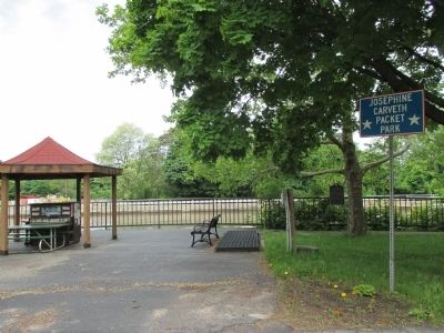
Location. 43° 10.561′ N, 78° 41.174′ W. Marker is in Lockport, New York, in Niagara County. Marker is on Market Street, 0.1 miles west of Exchange Street, on the left when traveling east. Marker is set back from the road, parallel with the road and canal and canal fence, next to a small open shelter. Touch for map. Marker is in this post office area: Lockport NY 14094, United States of America. Touch for directions.
Other nearby markers. At least 8 other markers are within walking distance of this marker. Aaron Mossell (within shouting distance of this marker); The Erie Barge Canal at Lockport (about 300 feet away, measured in a direct line); The Lowertown Historic District (about 700 feet away); Lockport Bank (approx. 0.2 miles away); Residence of Washington Hunt (approx. ¼ mile away); a different marker also named The Lowertown Historic District (approx. ¼ mile away); Lockport Federal Building (approx. 0.4 miles away); Barge Tie Ups & lock view looking west (approx. 0.4 miles away). Touch for a list and map of all markers in Lockport.
Also see . . . Erie Canal Discovery Center - Lockport, NY. Niagara History Center website entry: (Submitted on June 25, 2014, by Anton Schwarzmueller of Wilson, New York.)
Credits. This page was last revised on August 9, 2022. It was originally submitted on June 25, 2014, by Anton Schwarzmueller of Wilson, New York. This page has been viewed 508 times since then and 29 times this year. Photos: 1, 2, 3, 4, 5. submitted on June 25, 2014, by Anton Schwarzmueller of Wilson, New York. • Bill Pfingsten was the editor who published this page.
