Marker Logo HMdb.org THE HISTORICAL
MARKER DATABASE
“Bite-Size Bits of Local, National, and Global History”
Near Spotsylvania Courthouse in Spotsylvania County, Virginia — The American South (Mid-Atlantic)
 

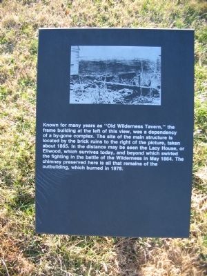
Old Wilderness Tavern


Old Wilderness Tavern Marker image. Click for full size.
Photographed By Craig Swain, February 16, 2008
1. Old Wilderness Tavern Marker
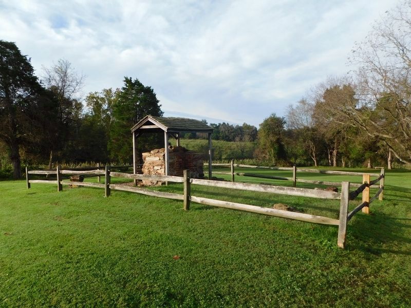
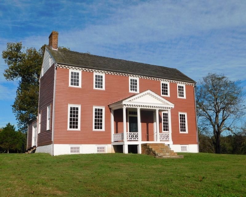
Inscription. Known for many years as "Old Wilderness Tavern," the frame building at your left of this view, was a dependency of a by-gone complex. The site of the main structure is located by the brick ruins to the right of the picture, taken about 1865. In the distance may be seen the Lacy House, or Ellwood, which survives today, and beyond which swirled the fighting in the battle of the Wilderness in May 1864. The chimney preserved here is all that remains of the outbuilding, which burned in 1978.
 
Topics. This historical marker is listed in this topic list: War, US Civil. A significant historical year for this entry is 1865.
 
Location. 38° 19.479′ N, 77° 43.372′ W. Marker is near Spotsylvania Courthouse, Virginia, in Spotsylvania County. Marker is on Germanna Highway (State Highway 3), on the right when traveling east. Touch for map. Marker is at or near this postal address: 11310 Lyons Ln, Spotsylvania VA 22553, United States of America. Touch for directions.
 
Other nearby markers. At least 8 other markers are within walking distance of this marker. Landmark in the Wilderness (here, next to this marker); Jackson’s Amputation (about 400 feet away, measured in a direct line); Orange County / Spotsylvania County (approx. 0.3 miles away); A Midnight Amputation (approx. 0.3 miles away); The Campaign of 1781 (approx. half a mile away); The Yard: A Busy Place
Paid Advertisement
Click on the ad for more information.
Please report objectionable advertising to the Editor.
Click or scan to see
this page online
(approx. 0.6 miles away); A Busy Place (approx. 0.6 miles away); A Military Scene (approx. 0.6 miles away). Touch for a list and map of all markers in Spotsylvania Courthouse.
 
More about this marker. The upper portion of the marker contains the photograph referenced in the text.
 
Also see . . .  Wilderness Battlefield. National Park Service site. (Submitted on May 1, 2008, by Craig Swain of Leesburg, Virginia.) 
 
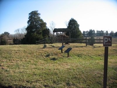
Markers in front of the Tavern Outbuilding Ruins image. Click for full size.
Photographed By Craig Swain, February 16, 2008
2. Markers in front of the Tavern Outbuilding Ruins
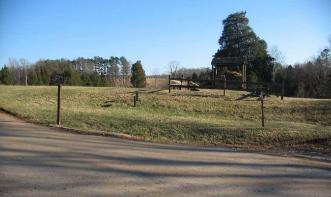
View of the Ruins image. Click for full size.
Photographed By Craig Swain, February 16, 2008
3. View of the Ruins
Looking south past the ruins, in the distance, are the fields around the Lacy House.
Old Wilderness Tavern Ruins image. Click for full size.
Photographed By Bradley Owen, October 16, 2018
4. Old Wilderness Tavern Ruins
Lacy House, or Ellwood image. Click for full size.
Photographed By Bradley Owen, October 16, 2018
5. Lacy House, or Ellwood
 
 
Credits. This page was last revised on July 9, 2021. It was originally submitted on May 1, 2008, by Craig Swain of Leesburg, Virginia. This page has been viewed 2,715 times since then and 163 times this year. Photos:   1, 2, 3. submitted on May 1, 2008, by Craig Swain of Leesburg, Virginia.   4, 5. submitted on March 28, 2021, by Bradley Owen of Morgantown, West Virginia.
Share this page.  
Share on Tumblr
m=7500

CeraNet Cloud Computing sponsors the Historical Marker Database.
This website earns income from purchases you make after using our links to Amazon.com. We appreciate your support.
Paid Advertisement
Apr. 26, 2024