Grafton in Taylor County, West Virginia — The American South (Appalachia)
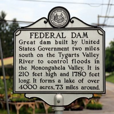
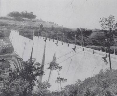
Federal Dam
Topics and series. This historical marker is listed in these topic lists: Charity & Public Work • Waterways & Vessels. In addition, it is included in the West Virginia Archives and History series list. A significant historical year for this entry is 1780.
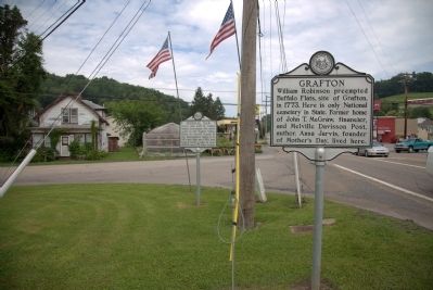
Location. 39° 20.785′ N, 80° 0.243′ W. Marker is in Grafton, West Virginia, in Taylor County. Marker is at the intersection of North Pike Street (U.S. 50) and Victory Avenue (U.S. 119), on the left when traveling west on North Pike Street. Touch for map. Marker is in this post office area: Grafton WV 26354, United States of America. Touch for directions.
Other nearby markers. At least 8 other markers are within walking distance of this marker. Taylor County World War Veterans Memorial (here, next to this marker); Grafton (a few steps from this marker); Fallen But Not Forgotten (a few steps from this marker); B&O Railroad (approx. 0.8 miles away); Elks Lodge No. 308 (approx. 0.8 miles away); First Presbyterian Church of Grafton (approx. 0.8 miles away); Willard Hotel (approx. 0.8 miles away); B&O Station (approx. 0.9 miles away). Touch for a list and map of all markers in Grafton.
Additional keywords. It is in a small triangular park bounded by US 50, US 119, and Lincoln Street.
Credits. This page was last revised on August 12, 2020. It was originally submitted on July 3, 2014, by J. J. Prats of Powell, Ohio. This page has been viewed 414 times since then and 12 times this year. Photos: 1, 2. submitted on July 3, 2014, by J. J. Prats of Powell, Ohio. 3. submitted on March 10, 2015, by J. Makali Bruton of Accra, Ghana.


