Huntington in Huntington County, Indiana — The American Midwest (Great Lakes)
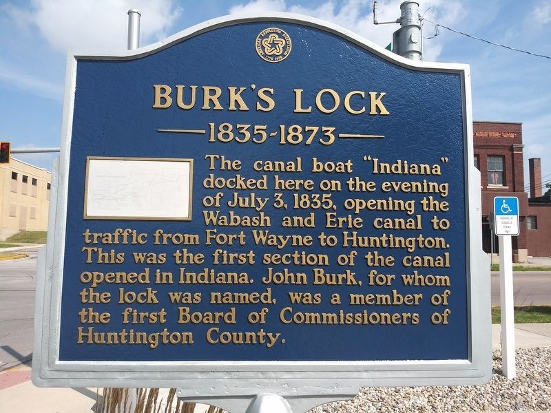
Burk’s Lock
1835-1873
Topics and series. This historical marker is listed in these topic lists: Government & Politics • Waterways & Vessels. In addition, it is included in the The Spirit of ’76, America’s Bicentennial Celebration, and the Wabash & Erie Canal series lists. A significant historical date for this entry is July 3, 1843.
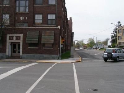
Location. 40° 53.034′ N, 85° 29.708′ W. Marker is in Huntington, Indiana, in Huntington County. Marker is at the intersection of East Park Drive (U.S. 224) and Warren on East Park Drive. Touch for map. Marker is in this post office area: Huntington IN 46750, United States of America. Touch for directions.
Other nearby markers. At least 8 other markers are within walking distance of this marker. Rock House (within shouting distance of this marker); Canal Landing on Washington Street / Jefferson Park Mall (about 500 feet away, measured in a direct line); Old Plat Historic District (about 600 feet away); Huntington High School / General James R. Slack 1818 - 1881 (about 700 feet away); Moore-Carlew Building (about 700 feet away); Huntington County Civil War Memorial (approx. 0.2 miles away); Dr. Otto U. King, 1873-1951 / Otto U. King, D.D.S, F.A.C.D. (approx. 0.2 miles away); Huntington County War Memorial (approx. 0.2 miles away). Touch for a list and map of all markers in Huntington.
Credits. This page was last revised on May 12, 2024. It was originally submitted on May 2, 2008, by Christopher Light of Valparaiso, Indiana. This page has been viewed 1,765 times since then and 35 times this year. Photos: 1. submitted on October 31, 2020, by Craig Doda of Napoleon, Ohio. 2. submitted on May 12, 2024, by J. J. Prats of Powell, Ohio. 3, 4, 5. submitted on May 2, 2008, by Christopher Light of Valparaiso, Indiana. • Christopher Busta-Peck was the editor who published this page.


