Mount Holly in Westmoreland County, Virginia — The American South (Mid-Atlantic)
The War of 1812 / British Landing at Nomini Ferry
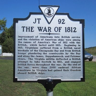
The War of 1812. Impressment of Americans into British service and the violation of American ships were among the causes of America’s War of 1812 with the British, which lasted until 1815. Beginning in 1813, Virginians suffered from a British naval blockade of the Chesapeake Bay and from British troops’ plundering the countryside by the Bay and along the James, Rappahannock, and Potomac rivers. The Virginia militia deflected a British attempt to take Norfolk in 1813, and engaged British forces throughout the war. By the end of the war, more than 2000 enslaved African Americans in Virginia had gained their freedom aboard British ships.
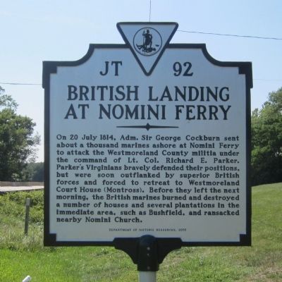
British Landing at Nomini Ferry. On 20 July 1814, Adm. Sir George Cockburn sent about a thousand marines ashore at Nomini Ferry to attack the Westmoreland County militia under the command of Lt. Col. Richard E. Parker. Parker’s Virginians bravely defended their positions, but were soon outflanked by superior British forces and forced to retreat to Westmoreland Court House (Montross). Before they left the next morning, the British marines burned and destroyed a number of houses and several plantations in the immediate area, such as Bushfield, and ransacked nearby Nomini Church.
Erected 2010 by Department of Historic Resources. (Marker Number JT-92.)
Topics and series. This historical marker is listed in these topic lists: African Americans • Churches & Religion • War of 1812 • Waterways & Vessels. In addition, it is included in the Virginia Department of Historic Resources (DHR) series list. A significant historical date for this entry is July 20, 1814.
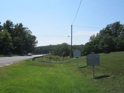
Location. 38° 5.887′ N, 76° 43.832′ W. Marker is in Mount Holly, Virginia, in Westmoreland County. Marker is on Cople Highway (Virginia Route 202) 0.3 miles west of McGuires Wharf Road (U.S. 662), on the right when traveling west. Touch for map. Marker is in this post office area: Mount Holly VA 22524, United States of America. Touch for directions.
Other nearby markers. At least 8 other markers are within 4 miles of this marker, measured as the crow flies. Nominy Church (here, next to this marker); The Glebe (approx. 0.8 miles away); Bushfield (approx. 0.8 miles away); Morgan Jones Kiln (approx. 0.8 miles away); Nomini Baptist Church (approx. 3.1 miles away); Nomini Hall (approx. 3.1 miles away); Armstead Tasker Johnson School (approx. 3.2 miles away); Private Tate, Buffalo Soldier (approx. 3.4 miles away). Touch for a list and map of all markers in Mount Holly.
Credits. This page was last revised on July 14, 2021. It was originally submitted on August 21, 2014, by Bernard Fisher of Richmond, Virginia. This page has been viewed 928 times since then and 73 times this year. Photos: 1, 2, 3, 4. submitted on August 21, 2014, by Bernard Fisher of Richmond, Virginia.


