Onancock in Accomack County, Virginia — The American South (Mid-Atlantic)
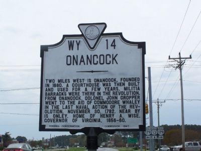
Onancock
Erected 1947 by Virginia Conservation Commission. (Marker Number WY-14.)
Topics and series. This historical marker is listed in these topic lists: Colonial Era • Settlements & Settlers • War, US Revolutionary. In addition, it is included in the Virginia Department of Historic Resources (DHR) series list. A significant historical date for this entry is November 30, 1662.
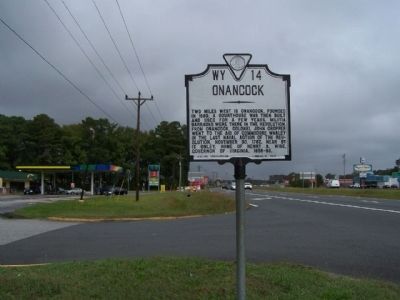
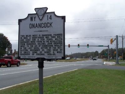
Location. 37° 41.914′ N, 75° 42.998′ W. Marker is in Onancock, Virginia, in Accomack County. Marker is at the intersection of US 13 and W. Main Street, on the left when traveling north on US 13. Touch for map. Marker is in this post office area: Onancock VA 23417, United States of America. Touch for directions.
Other nearby markers. At least 8 other markers are within 2 miles of this marker, measured as the crow flies. Dr. John Ross (approx. 1.7 miles away); Log Canoe Annie C (approx. 1.9 miles away); Steering the Annie C… (approx. 1.9 miles away); The Cabin area… (approx. 1.9 miles away); The Logs… (approx. 1.9 miles away); The knees and washboards… (approx. 1.9 miles away); Annie C. (approx. 1.9 miles away); Kerr Place (approx. 1.9 miles away). Touch for a list and map of all markers in Onancock.
Credits. This page was last revised on December 24, 2019. It was originally submitted on May 8, 2008, by Bill Pfingsten of Bel Air, Maryland. This page has been viewed 1,549 times since then and 71 times this year. Photos: 1. submitted on May 8, 2008, by Bill Pfingsten of Bel Air, Maryland. 2, 3. submitted on October 14, 2013, by Mike Stroud of Bluffton, South Carolina.


