Stony Creek in Sussex County, Virginia — The American South (Mid-Atlantic)
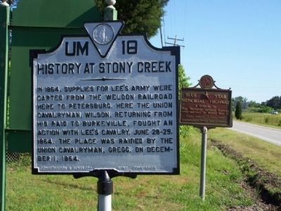
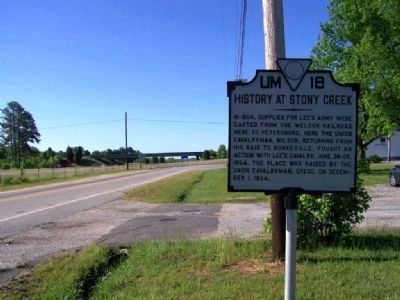
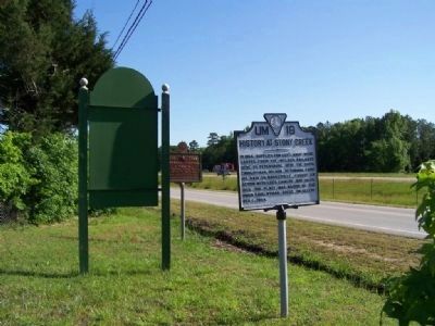
History At Stony Creek
In 1864, supplies for Lee's army were carted from the Weldon Railroad here to Petersburg. Here the Union Cavalryman, Wilson, returning from his raid in Burkeville, fought an action with Lee's cavalry, June 28-29, 1864. The place was raided by the Union Cavalryman, Gregg, on December 1, 1864.
Erected 1928 by Conservation and Development Commission. (Marker Number UM-18.)
Topics and series. This historical marker is listed in this topic list: War, US Civil. In addition, it is included in the Virginia Department of Historic Resources (DHR) series list. A significant historical date for this entry is June 28, 1724.
Location. 36° 56.78′ N, 77° 23.58′ W. Marker is in Stony Creek, Virginia, in Sussex County. Marker is at the intersection of Blue Star Highway (U.S. 301) and Lee Avenue (State Highway 40), on the right when traveling south on Blue Star Highway. Located near Exit 31 off Interstate 95. Touch for map. Marker is in this post office area: Stony Creek VA 23882, United States of America. Touch for directions.
Other nearby markers. At least 8 other markers are within 7 miles of this marker, measured as the crow flies. Nottoway River Crossings (approx. 3.3 miles away); Sappony Church (approx. 3.3 miles away); Prince George County / Sussex County (approx. 3.4 miles away); Hunting Quarter Baptist Church (approx. 4 miles away); Jones Chapel Methodist Church (approx. 5.2 miles away); Sussex County / Dinwiddie County (approx. 5.4 miles away); Reams Station (approx. 6˝ miles away); Sussex County Confederate Monument (approx. 6.6 miles away). Touch for a list and map of all markers in Stony Creek.
Also see . . . Wilson–Kautz Raid. Wikipedia entry (Submitted on April 26, 2022, by Larry Gertner of New York, New York.)
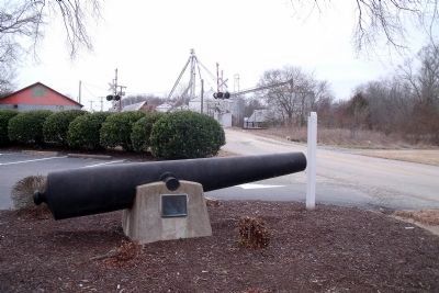
Photographed By Bernard Fisher, January 17, 2011
5. Confederate cannon removed from Stony Creek.
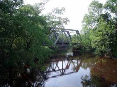
The plaque reads, "This Confederate cannon was found, removed from Stony Creek, and set upon this base by Charles Richard Williams, engineer and contractor who built the first double track railroad bridge during 1911 and 1912."
Credits. This page was last revised on April 26, 2022. It was originally submitted on May 17, 2008, by Mike Stroud of Bluffton, South Carolina. This page has been viewed 2,346 times since then and 53 times this year. Photos: 1, 2, 3. submitted on May 17, 2008, by Mike Stroud of Bluffton, South Carolina. 4. submitted on May 11, 2009, by Bernard Fisher of Richmond, Virginia. 5. submitted on January 18, 2011, by Bernard Fisher of Richmond, Virginia. • Craig Swain was the editor who published this page.
