Laurel in Prince George's County, Maryland — The American Northeast (Mid-Atlantic)
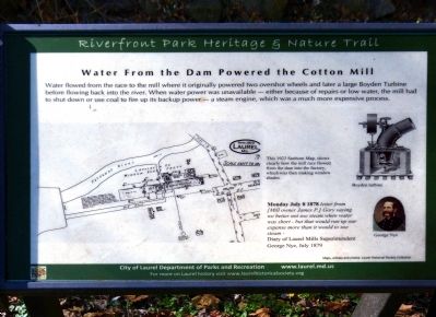
Water From the Dam Powered the Cotton Mill
Riverfront Park Heritage & Nature Trail
Inscription.
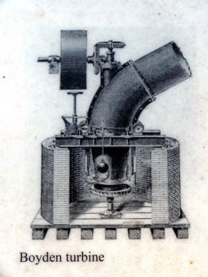
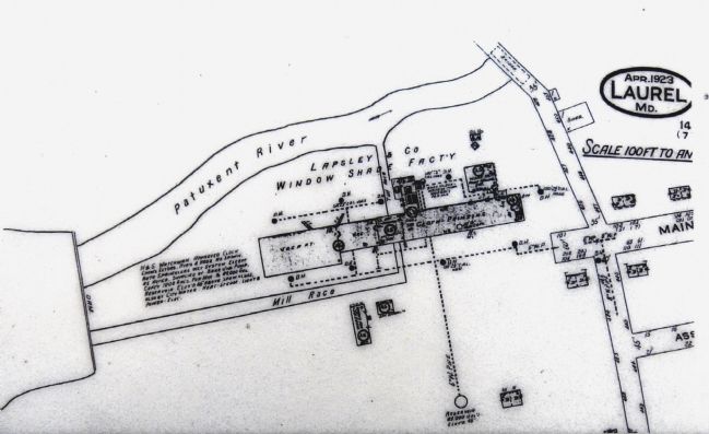
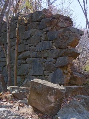
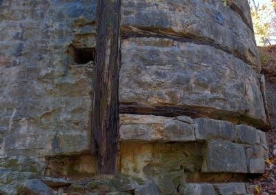
Water flowed from the race to the mill where it originally powered two overshot wheels and later a large Boyden Turbine before flowing back into the river. When water power was unavailable — either because of repairs or low water, the mill had to shut down or use coal to fire up its backup power — a steam engine, which was a much more expensive process.
Erected by City of Laurel Department of Parks and Recreation.
Topics. This historical marker is listed in these topic lists: Industry & Commerce • Natural Resources • Waterways & Vessels.
Location. 39° 6.602′ N, 76° 51.556′ W. Marker is in Laurel, Maryland, in Prince George's County. Marker is on Main Street. In Riverfront Park at the west end of Main Street. Touch for map. Marker is at or near this postal address: 998 Main St, Laurel MD 20707, United States of America. Touch for directions.
Other nearby markers. At least 8 other markers are within walking distance of this marker. Laurel Harnessed the River to Power the Cotton Mill (about 300 feet away, measured in a direct line); a different marker also named Laurel Harnessed the River to Power the Cotton Mill (about 400 feet away); Desegregation of Laurel Pool (about 500 feet away); Laurel Cotton Mill and Dam (about 500 feet away); Laurel Factory: Prince Georges County's Only Mill Town (about 500 feet away); Site of The Old Stone Methodist Church (about 600 feet away); Laurel Factory: A Mill Town (about 600 feet away); Casula Point (about 600 feet away). Touch for a list and map of all markers in Laurel.
Photographed By Allen C. Browne, November 15, 2014
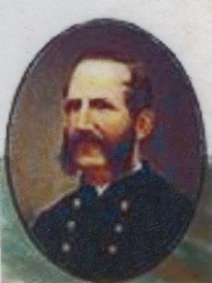
5. George Nye
Monday July 8 1878 letter from [Mill owner James P.] Gary saying we better not use steam when water was short – but that would run up our expense more than it would to use steam – Diary of Laurel Mills Superintendent George Nye, July 1879. Close-up of image on marker
Credits. This page was last revised on December 12, 2021. It was originally submitted on November 27, 2014, by Allen C. Browne of Silver Spring, Maryland. This page has been viewed 339 times since then and 22 times this year. Photos: 1, 2, 3, 4, 5, 6, 7, 8. submitted on November 27, 2014, by Allen C. Browne of Silver Spring, Maryland. • Bill Pfingsten was the editor who published this page.
