Cherry Hill in Camden County, New Jersey — The American Northeast (Mid-Atlantic)
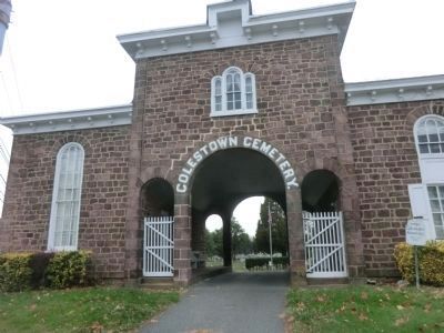
Colestown Cemetery
Topics. This historical marker is listed in this topic list: Cemeteries & Burial Sites.
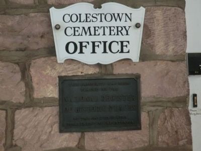
Location. 39° 55.986′ N, 74° 59.364′ W. Marker is in Cherry Hill, New Jersey, in Camden County. Marker is at the intersection of Kings Highway and Church Road on Kings Highway. This marker is inside the arch at the entrance to the cemetery. Touch for map. Marker is in this post office area: Cherry Hill NJ 08034, United States of America. Touch for directions.
Other nearby markers. At least 8 other markers are within 3 miles of this marker, measured as the crow flies. Samuel Coles (here, next to this marker); Cherry Hill Monument (approx. 1.8 miles away); Barclay Farmstead (approx. 2 miles away); Old Salem Road (approx. 2.1 miles away); Hadrosaurus Foulkii (approx. 2.7 miles away); Pennypacker Trail (approx. 2.7 miles away); Site of the Indian Spring (approx. 2.7 miles away); The Kay-Evans House at Croft Farm (approx. 2.8 miles away). Touch for a list and map of all markers in Cherry Hill.
Credits. This page was last revised on June 16, 2016. It was originally submitted on December 11, 2014, by Don Morfe of Baltimore, Maryland. This page has been viewed 407 times since then and 37 times this year. Photos: 1, 2, 3. submitted on December 11, 2014, by Don Morfe of Baltimore, Maryland. • Bill Pfingsten was the editor who published this page.


