Near Louisbourg in Cape Breton Region, Nova Scotia — The Atlantic Provinces (North America)
The Siege Landing
Débarquement des assiégeants
Inscription.
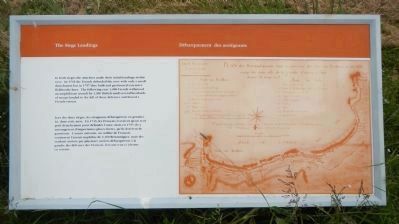
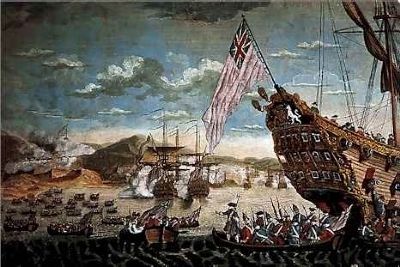
In both sieges the attackers made their initial landings in this cove. In 1745 the French defended the cove with only a small detachment but in 1757 they built and garrisoned extensive fieldworks here. The following year 1,000 French withstood an amphibious assault by 3,300 British until several boatloads of troops landed to the left of these defences and forced a French retreat.
Lors des deux sièges, les attaquants débarquèrent en premier ici, dans cette anse. En 1745. les Français n’avaient qu’un seul petit détachement pour défendre l’anse, mais en 1757, ils y aménagèrent l’importantes places fortes, qu’ils dotèrent de garnisons. L’année suivante, un millier de Français soutinrent l’assaut amphibie de 3 300 Britanniques, mais des renforts arrivés par plusieurs navires débarquèrent à la gauche des défenses des Français, forçant ceux-ci à battre en retraite.
Erected by Parks Canada.
Topics and series. This historical marker is listed in these topic lists: Forts and Castles • War, French and Indian. In addition, it is included in the Acadian History series list. A significant historical year for this entry is 1745.
Location. 45° 52.772′ N, 60° 3.395′ W. Marker is near Louisbourg, Nova Scotia, in Cape Breton Region. Marker is on Kennington Cove Road, on the left when traveling west. Touch for map. Marker is in this post office area: Louisbourg NS B1C 2L2, Canada. Touch for directions.
Other nearby markers. At least 8 other markers are within 8 kilometers of this marker, measured as the crow flies. Wolfe’s Landing (about 180 meters away, measured in a direct line); Canada’s First Observatory (approx. 5.7 kilometers away); Fizel House (approx. 5.8 kilometers away); Slavery / Freedom (approx. 5.8 kilometers away); Marie Marguerite Rose (approx. 5.8 kilometers away); Fortress of Louisbourg (approx. 6.5 kilometers away); The Lobster Fishery (approx. 7.8 kilometers away); 19th-Century Lighthouse (approx. 8.2 kilometers away). Touch for a list and map of all markers in Louisbourg.
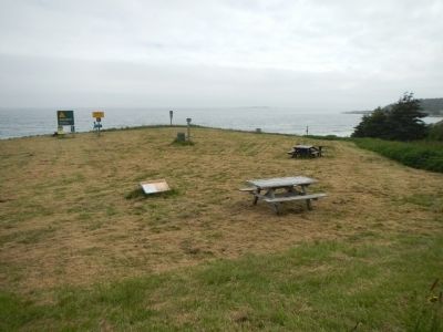
More about this marker. This marker is located at Kennington Cove, about 5 km southwest from Fortress Louisbourg on the Kennington Cove Road.
Also see . . .
1. Siege of Louisbourg (1745) - Wikipedia. Although the Fortress of Louisbourg's construction and layout was acknowledged as having superior seaward defences, a series of low rises behind them provided attackers places to erect siege batteries. The fort's garrison was poorly paid and supplied, and its inexperienced leaders mistrusted them. The colonial attackers were also lacking in experience, but ultimately succeeded in gaining control of the surrounding defences. The defenders surrendered in the face of an imminent assault. (Submitted on December 28, 2014, by Barry Swackhamer of Brentwood, California.)
2. The Siege of Louisbourg, 1758 - Military Heritage. ...left attack which was to lead the landing in the vicinity of "the fresh-water cove", which is today known as Kennington Cove and which forms part of the National Historic Site.
The surf in the area is quite rough, and on the heights overlooking the cove the stone fortifications which the French erected are still visible. Essentially, the British "plan" was to attempt a seaborne frontal assault against a well-defended position equipped with artillery. (Submitted on December 28, 2014, by Barry Swackhamer of Brentwood, California.)
Credits. This page was last revised on November 27, 2019. It was originally submitted on December 28, 2014, by Barry Swackhamer of Brentwood, California. This page has been viewed 412 times since then and 13 times this year. Last updated on November 26, 2019, by Steve Stoessel of Niskayuna, New York. Photos: 1, 2, 3. submitted on December 28, 2014, by Barry Swackhamer of Brentwood, California.


