Waynesboro in Franklin County, Pennsylvania — The American Northeast (Mid-Atlantic)
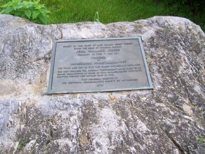
Nearby On This Tract of Land Called Mount Vernon
Inscription.
John Wallace, Junior
February 15, 1755 - May 1811
Founder
of
Waynesboro, Pennsylvania - 1797
The town laid out in 1797 was named Waynesburg until 1831.
The plot included the original "settlement" which came to be
called Wallacetown in honor of John Wallace, Senior (1707-1777)
Scottish pioneer who settled here in 1740.
Erected 1976 by The Historical Commemorative Society of Waynesboro.
Topics. This historical marker is listed in these topic lists: Colonial Era • Patriots & Patriotism • Settlements & Settlers. A significant historical month for this entry is February 1797.
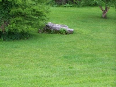
Location. 39° 44.927′ N, 77° 34.153′ W. Marker is in Waynesboro, Pennsylvania, in Franklin County. Marker can be reached from the intersection of E. 2nd Street and Enterprise Ave., on the left when traveling west. Marker is in the park. Touch for map. Marker is in this post office area: Waynesboro PA 17268, United States of America. Touch for directions.
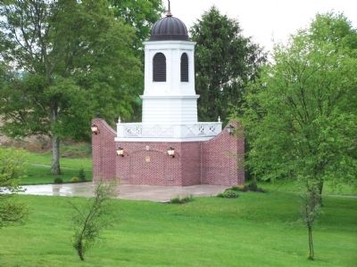
Other nearby markers. At least 8 other markers are within walking distance of this marker. Cupola – Waynesboro’s Crown Jewel (about 300 feet away, measured in a direct line); John Wallace, Jr. (approx. 0.2 miles away); Gettysburg Campaign (approx. 0.2 miles away); Old Log Building (approx. ¼ mile away); Summer Kitchen (approx. half a mile away); Bee Hive Bake Oven (approx. half a mile away); American Revolutionary War Memorial (approx. half a mile away); Waynesboro Memorial Park Memorials (approx. half a mile away). Touch for a list and map of all markers in Waynesboro.
Credits. This page was last revised on December 5, 2019. It was originally submitted on May 29, 2008, by Bill Pfingsten of Bel Air, Maryland. This page has been viewed 1,157 times since then and 21 times this year. Photos: 1, 2, 3. submitted on May 29, 2008, by Bill Pfingsten of Bel Air, Maryland.


